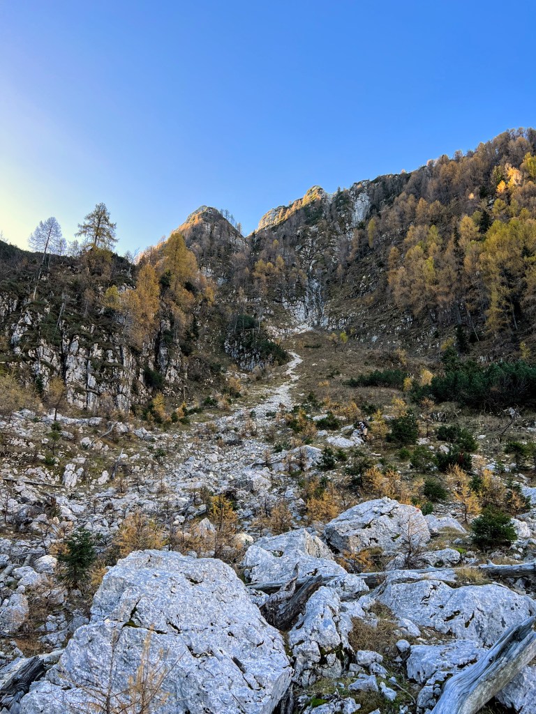
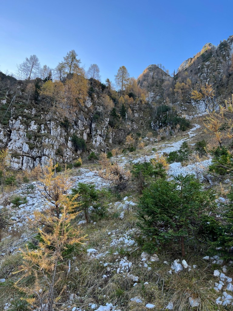
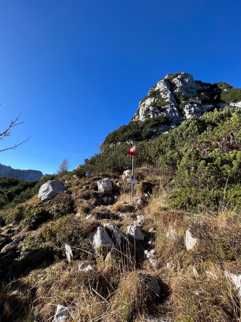
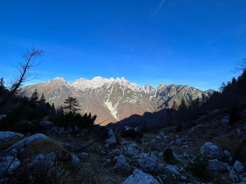
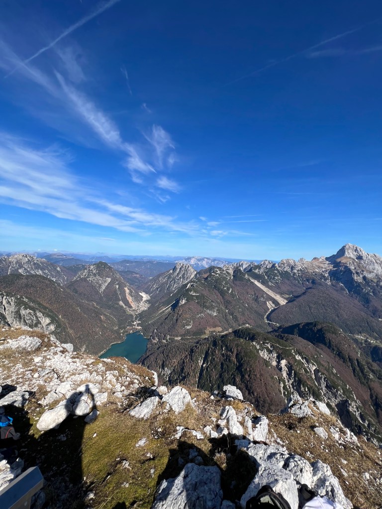
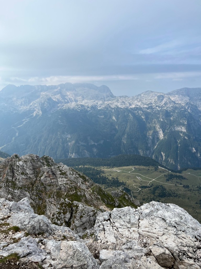
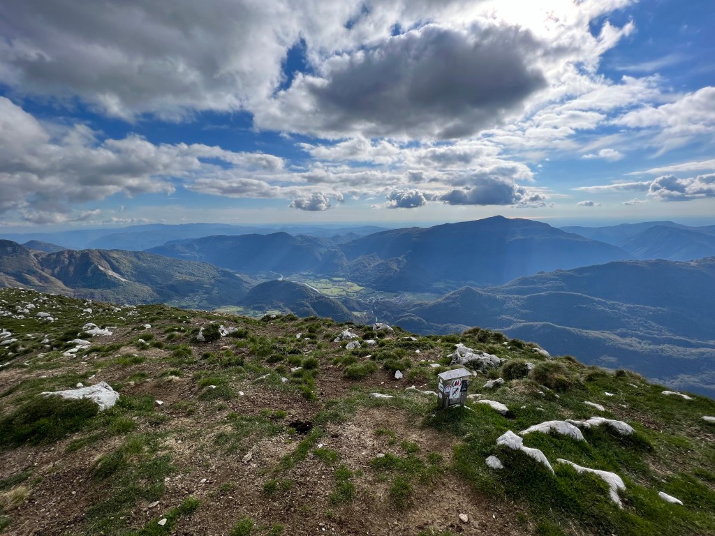
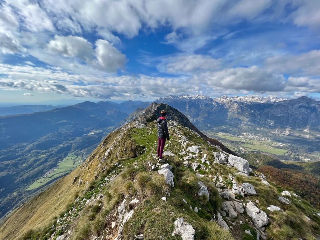
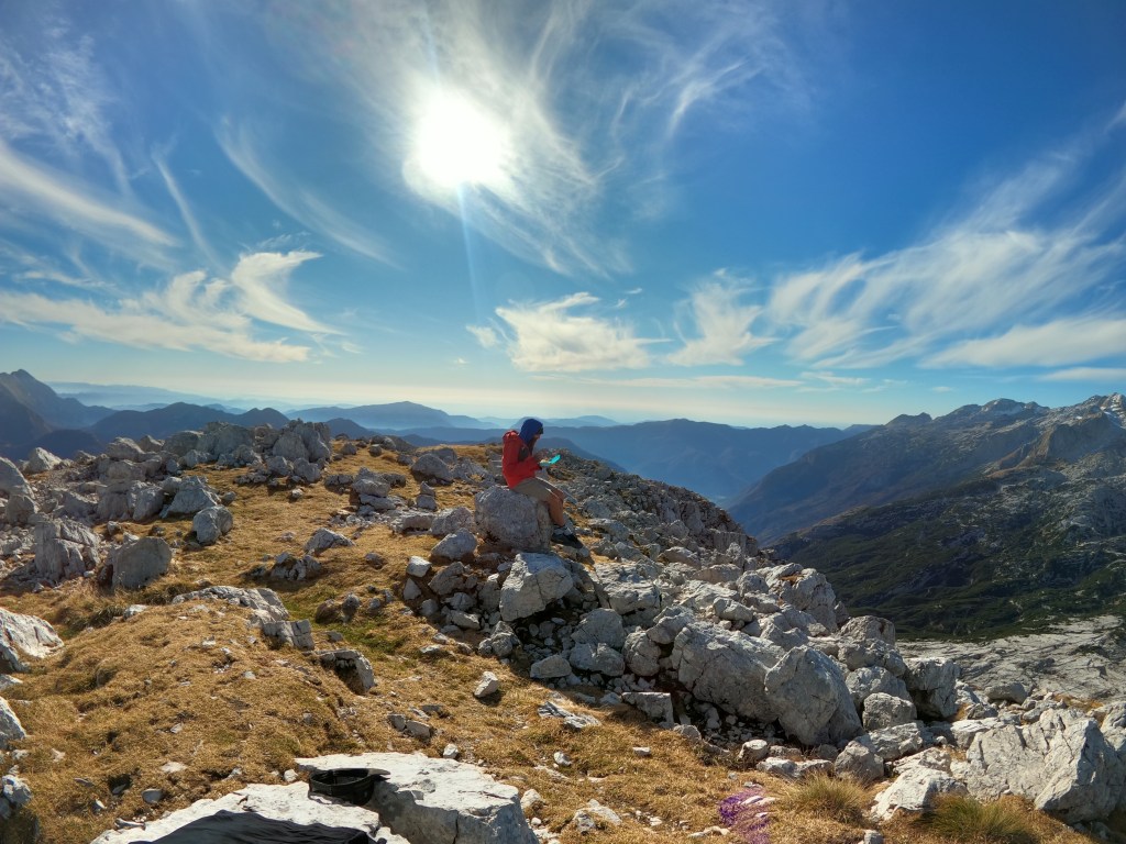
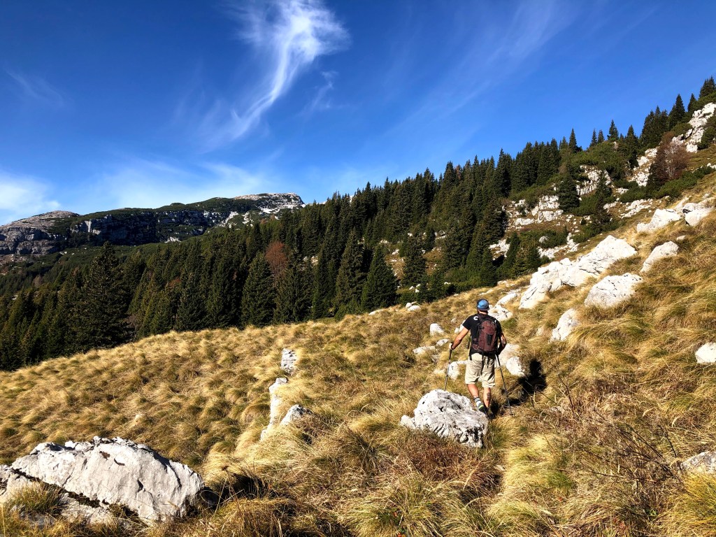
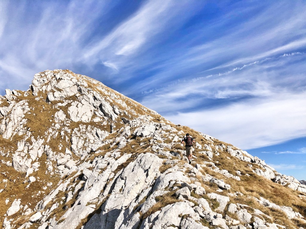
Another hiking day out with Rick. It was a beautiful day, quite warm for the end of October. Jerebica or Cima del Lago in Italian is 2126 m high mountain in the Julian Alps. It borders between Slovenia and Italy. You can access it from either side, but from the Slovenian is harder and longer. We went up and down on the Italian side.
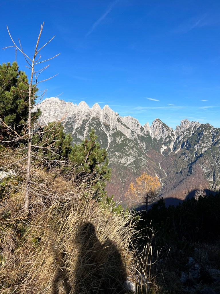
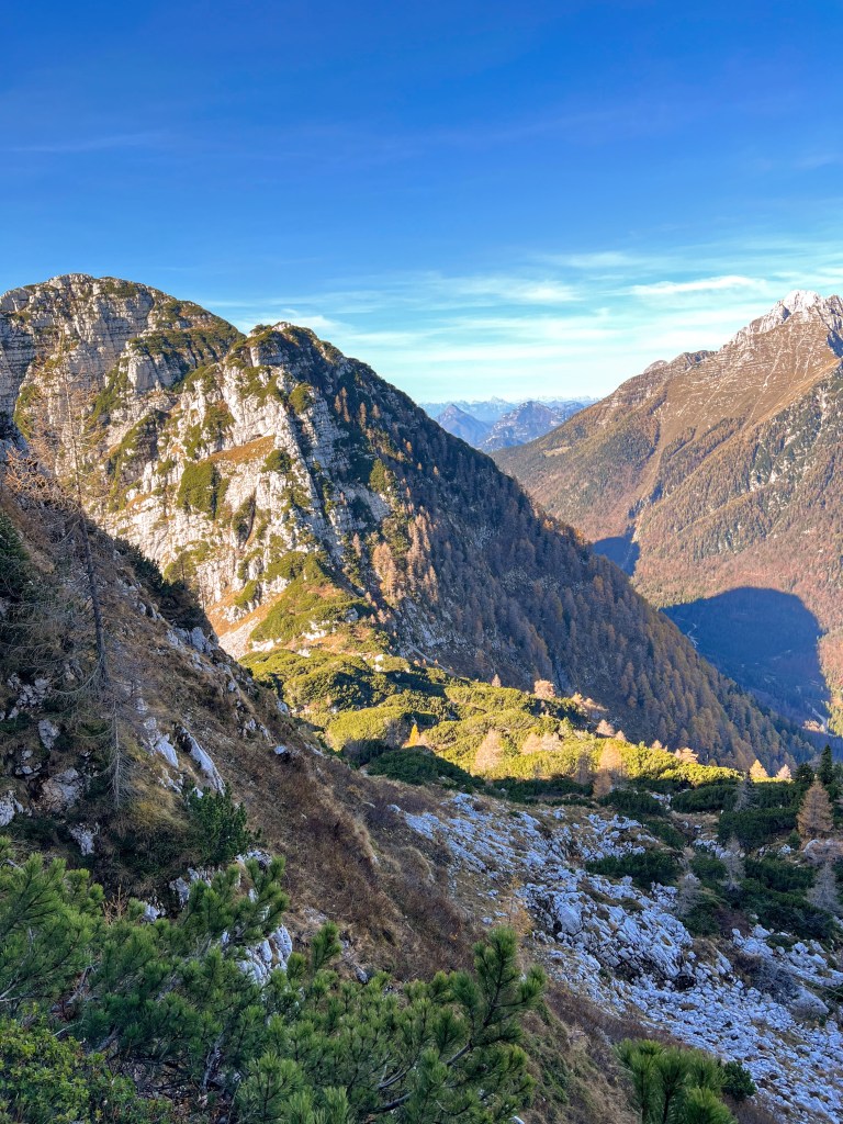
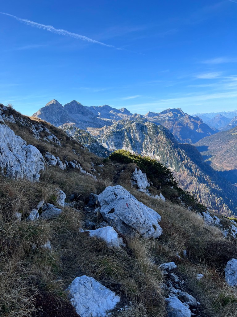
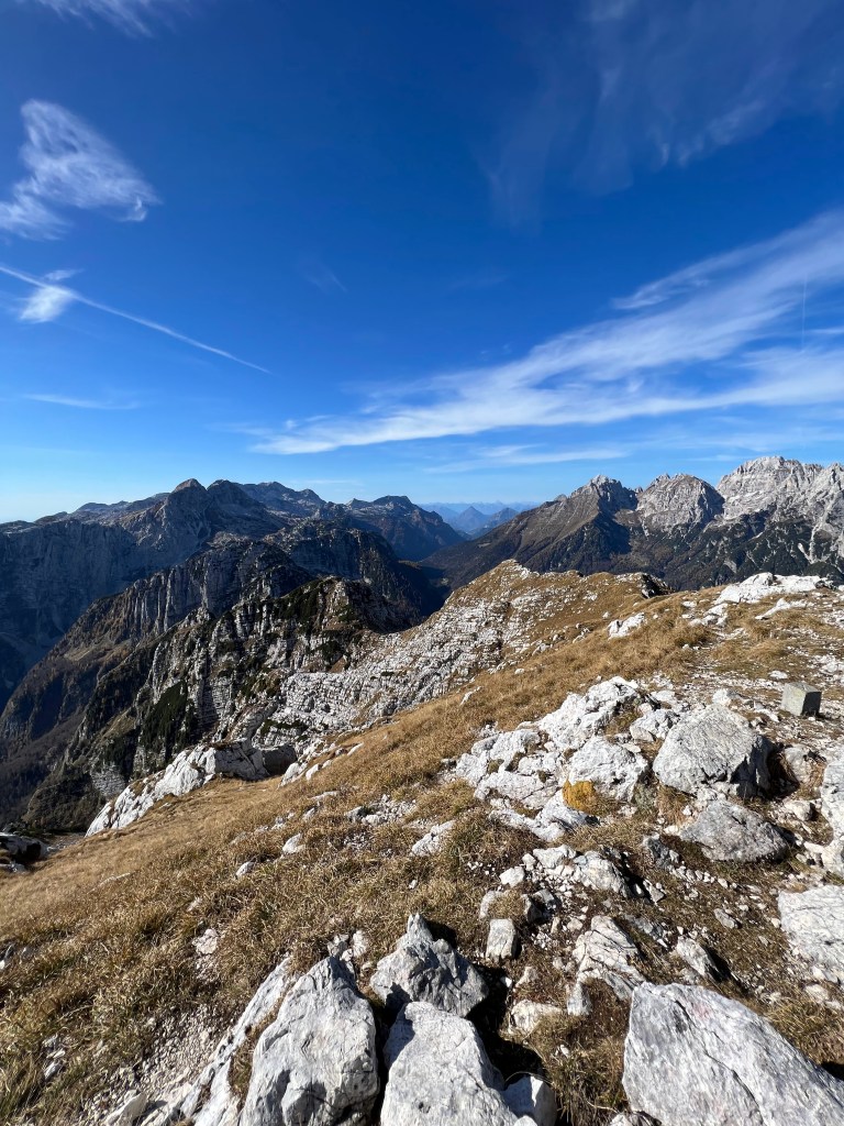
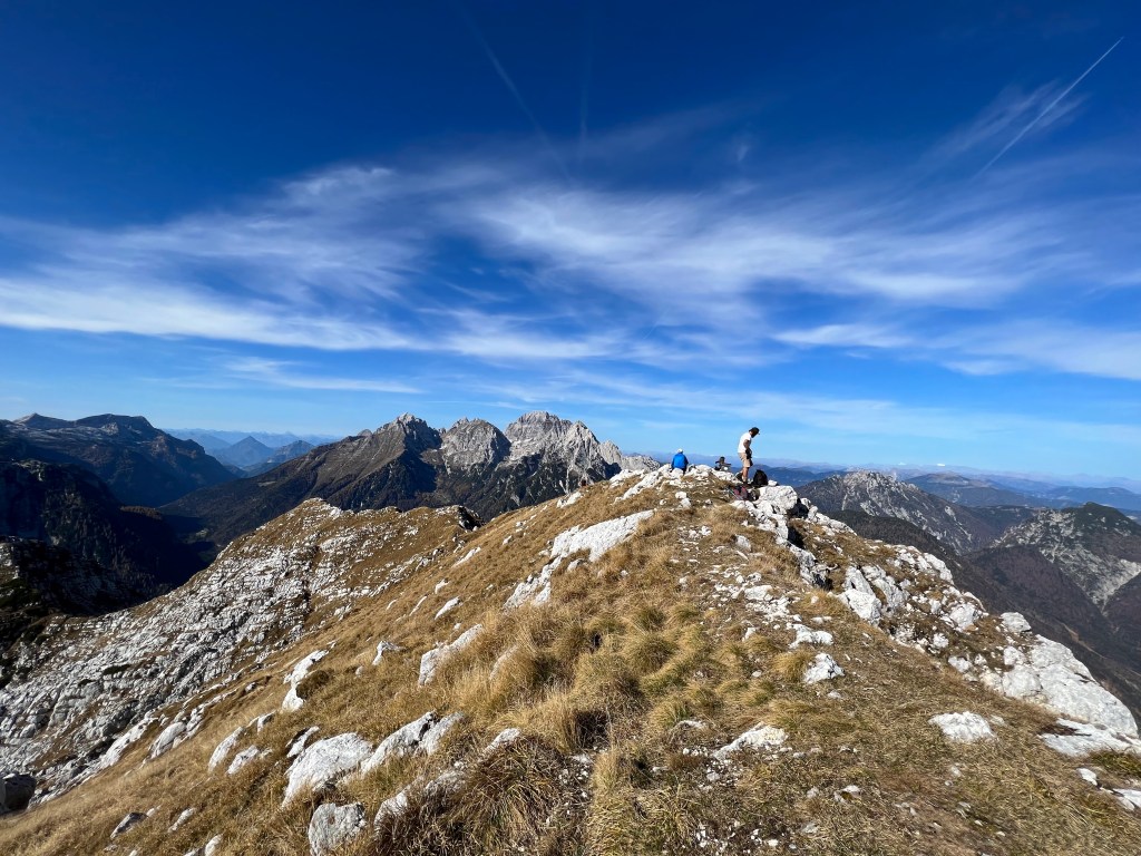
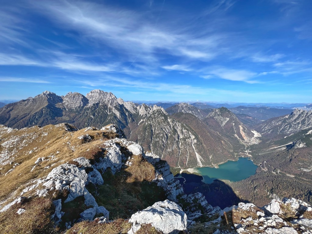
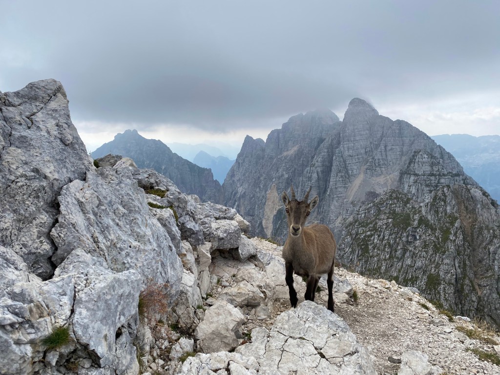
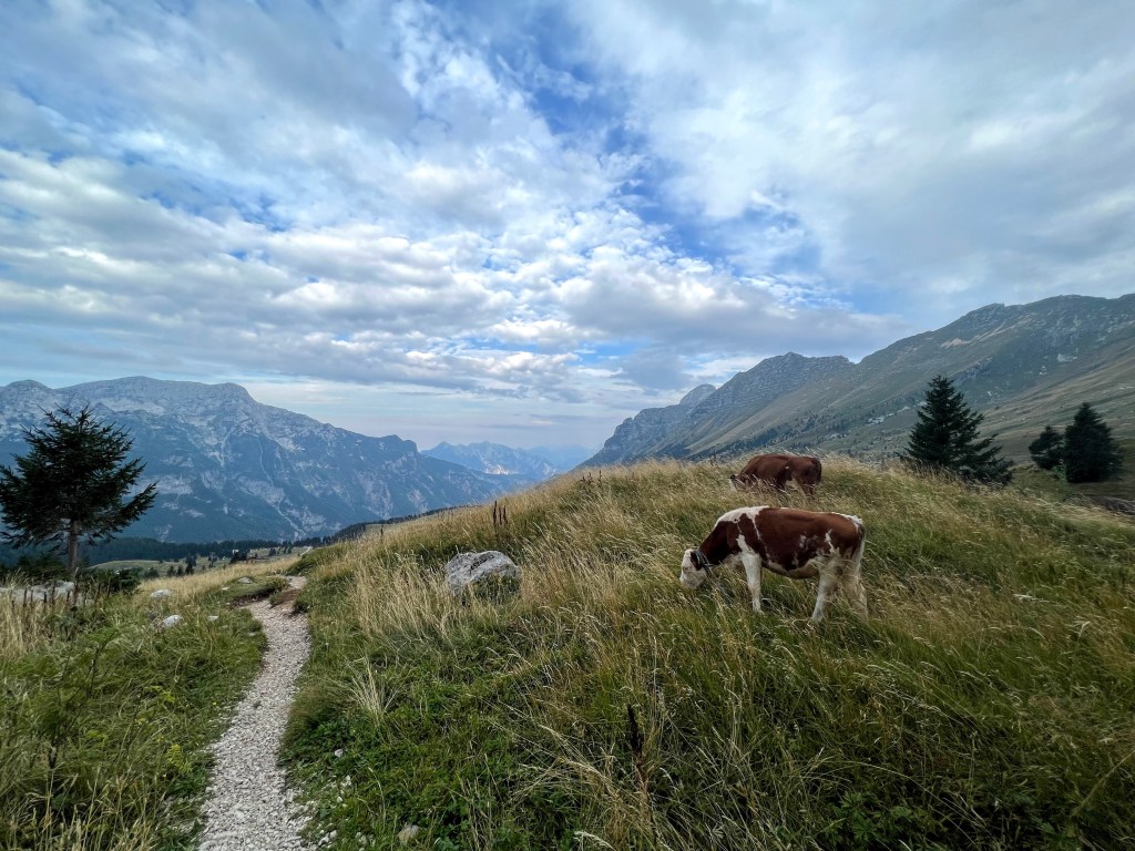
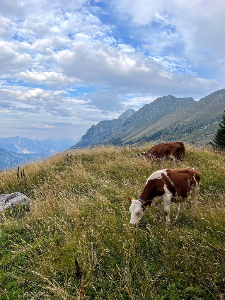
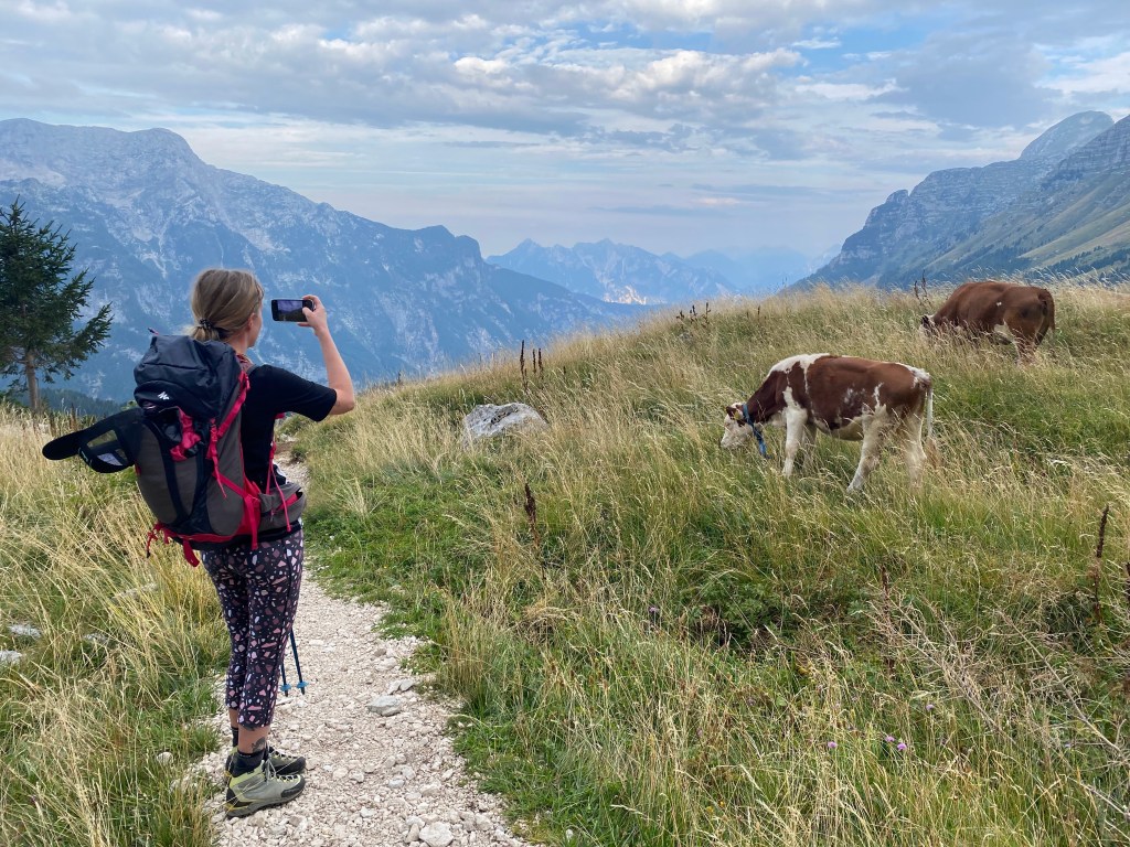
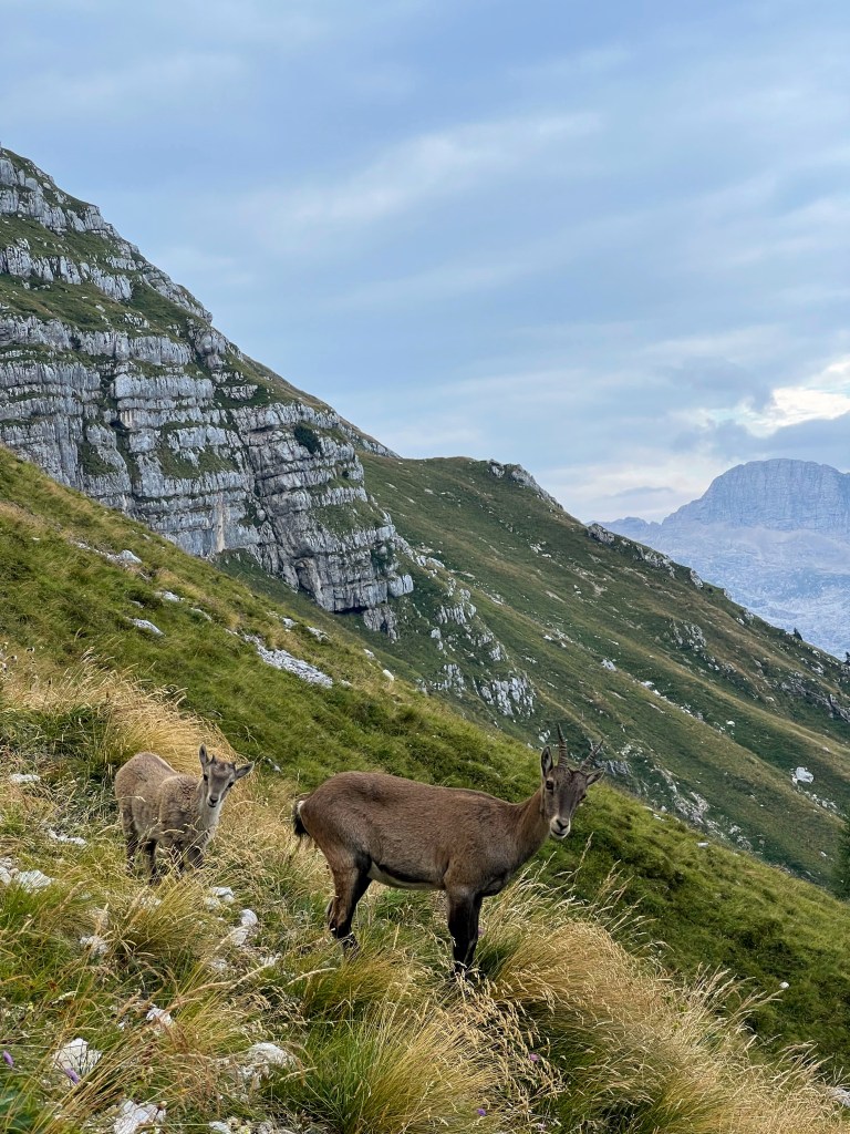
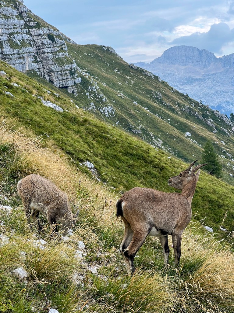
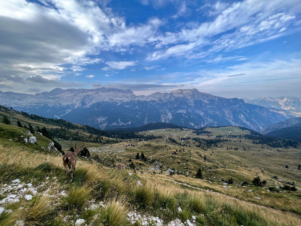
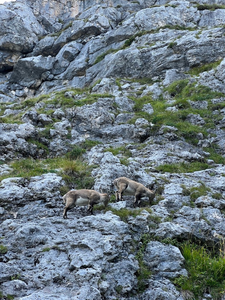
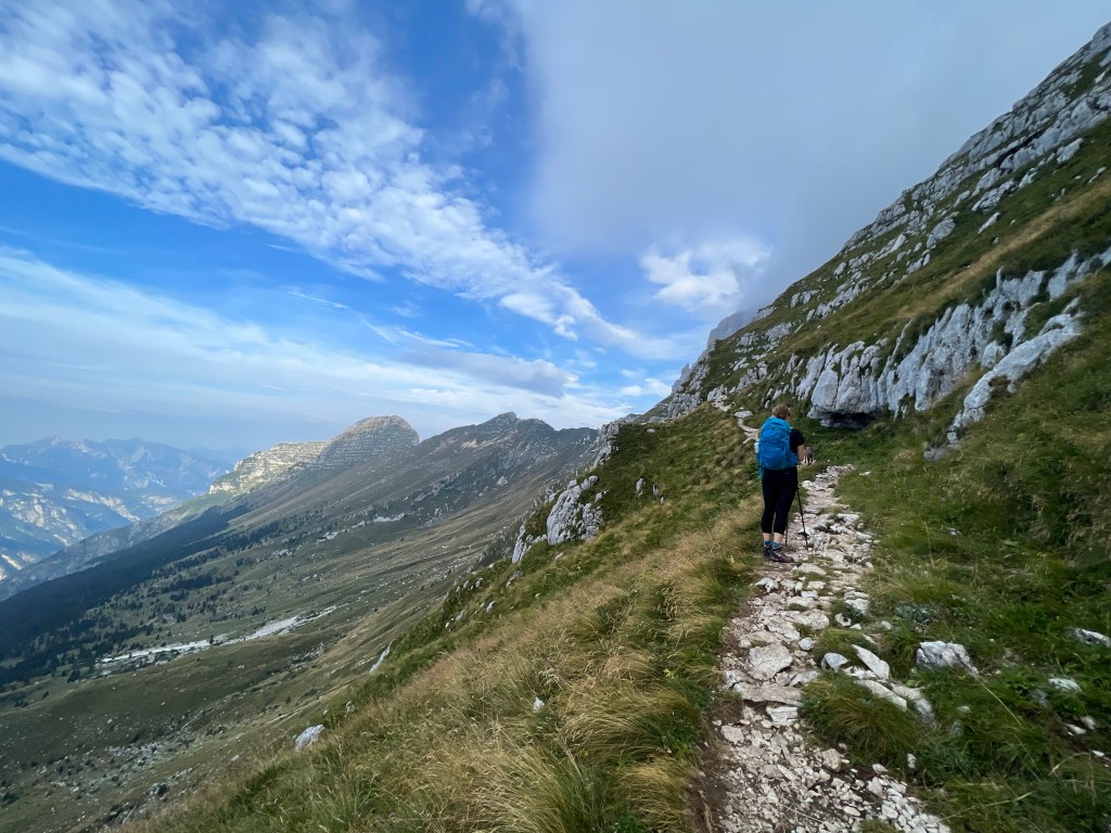
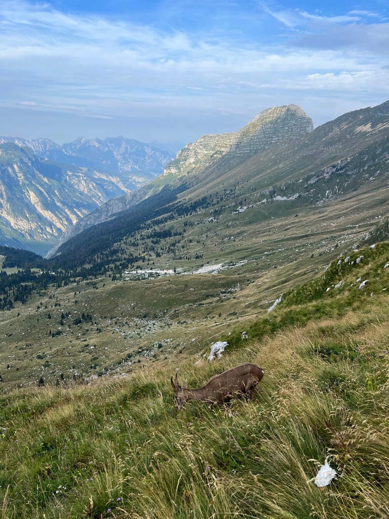
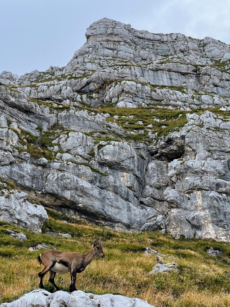
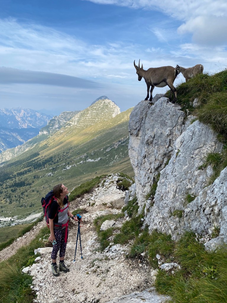
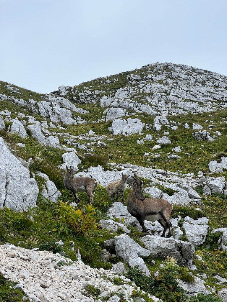
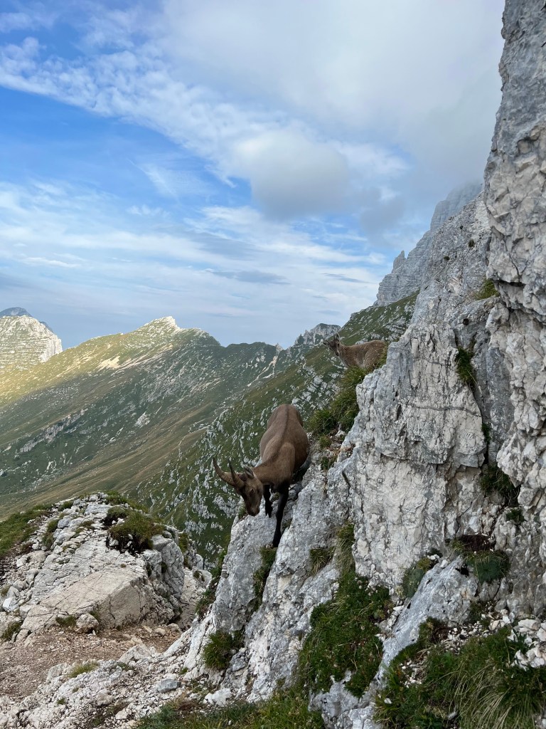
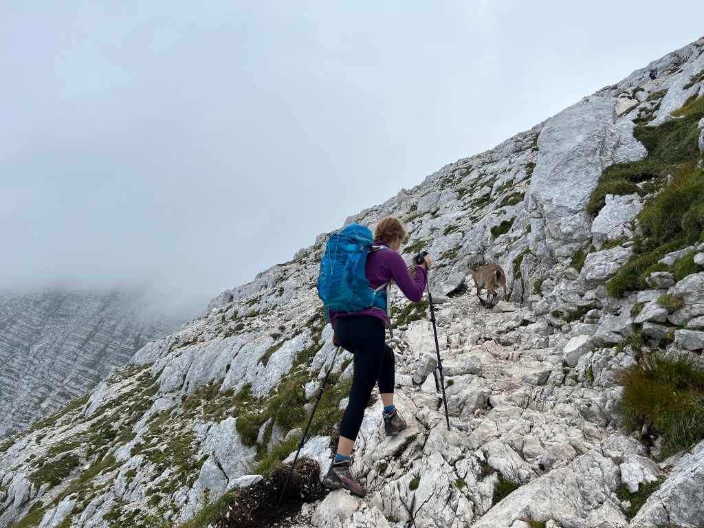
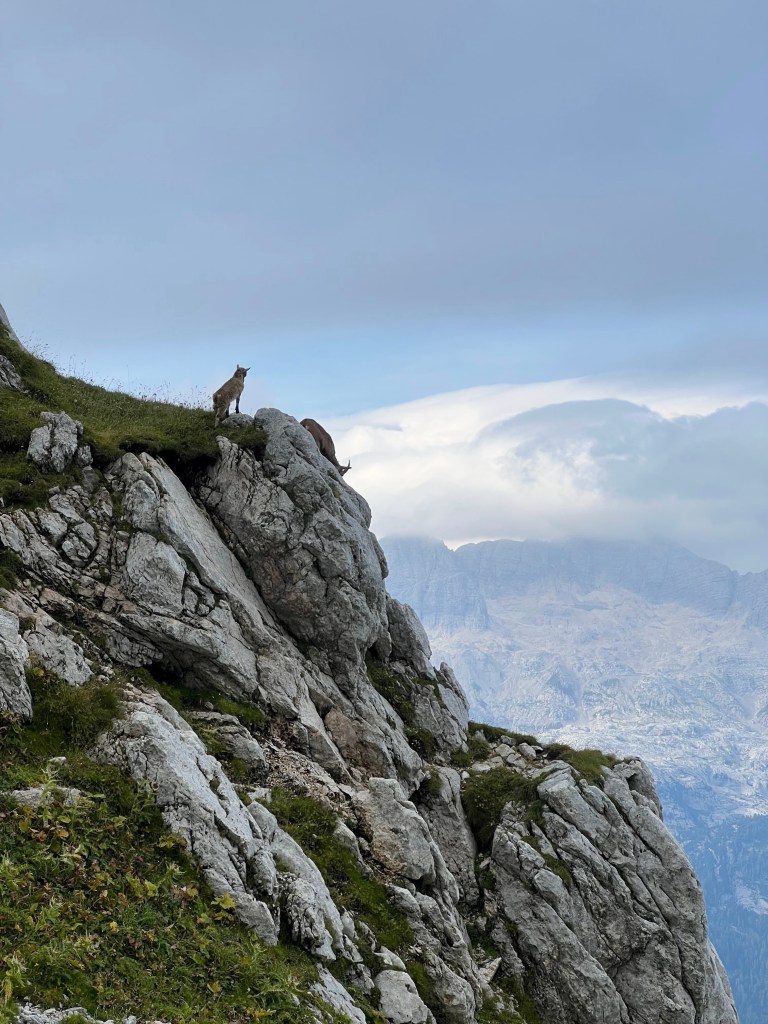
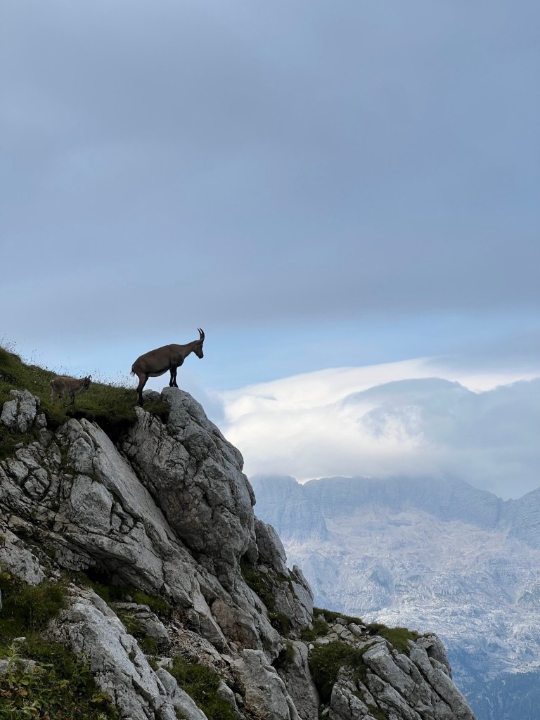
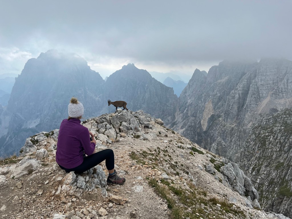
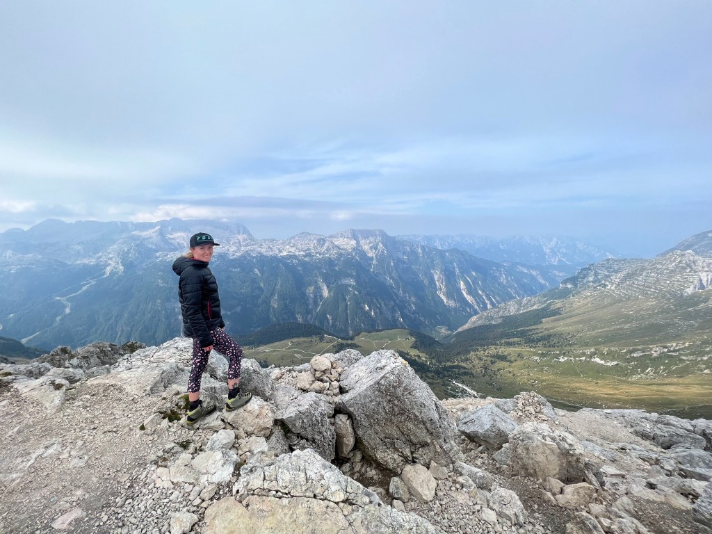
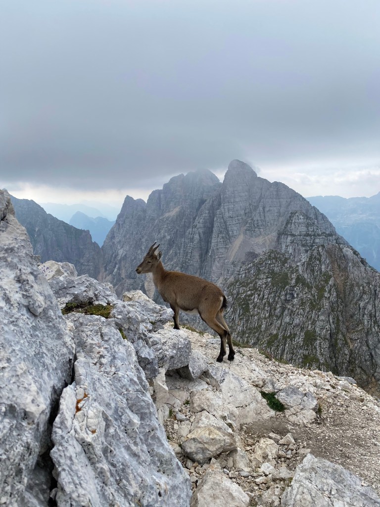
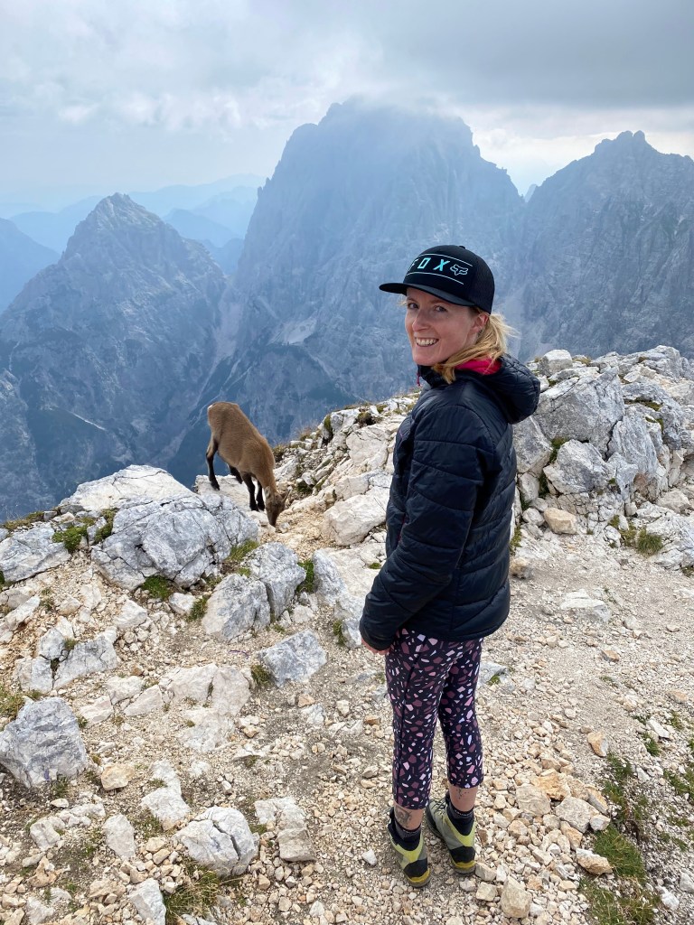
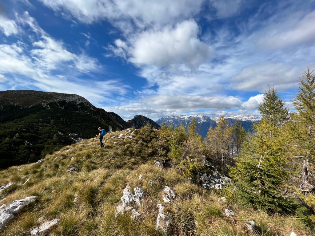
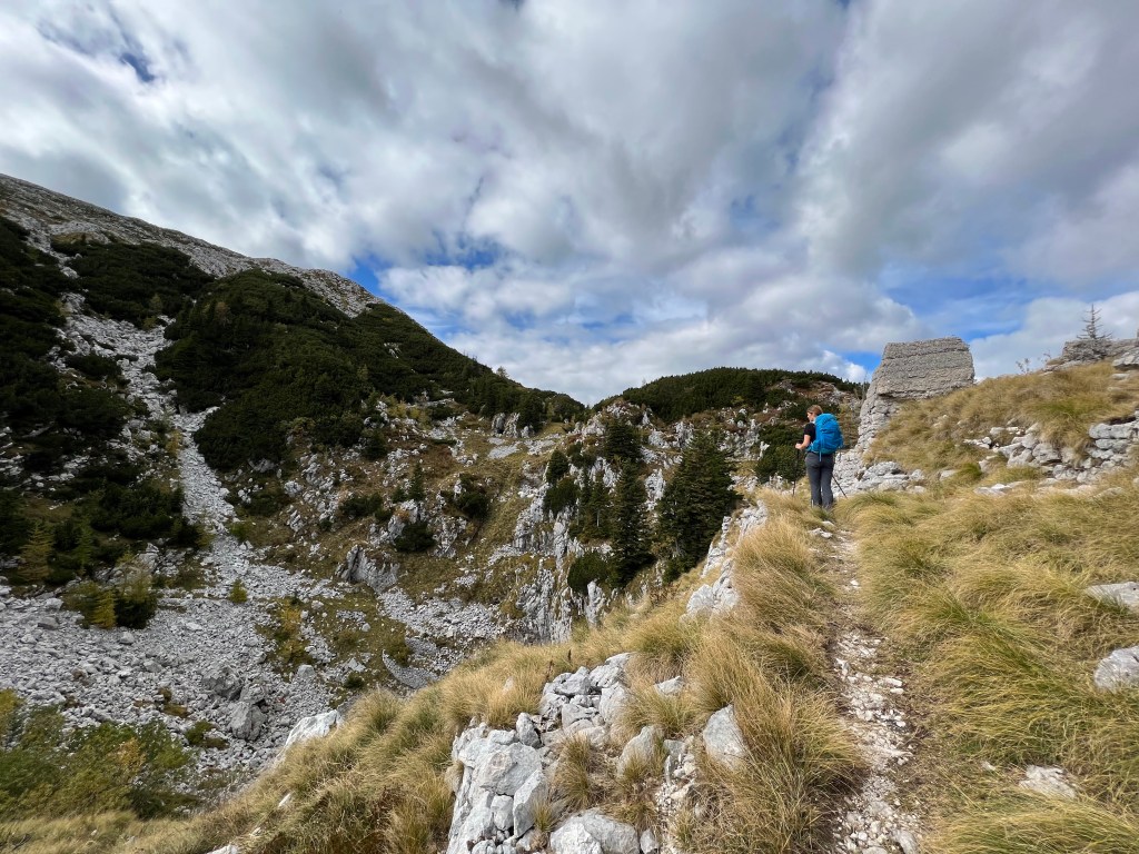
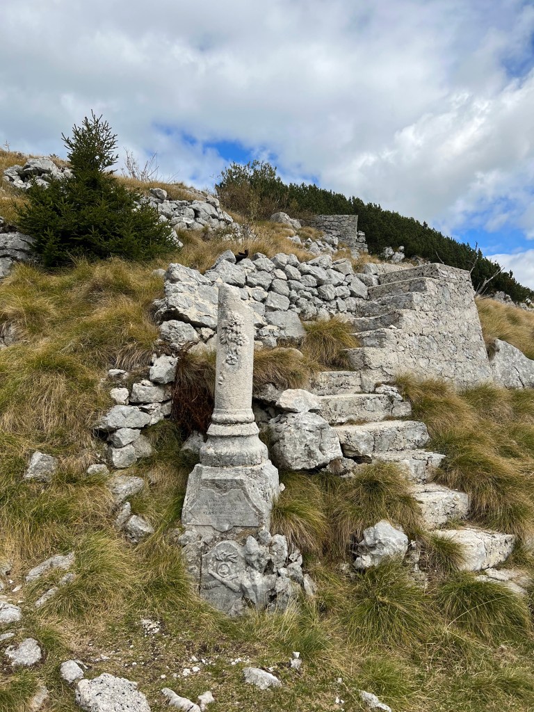
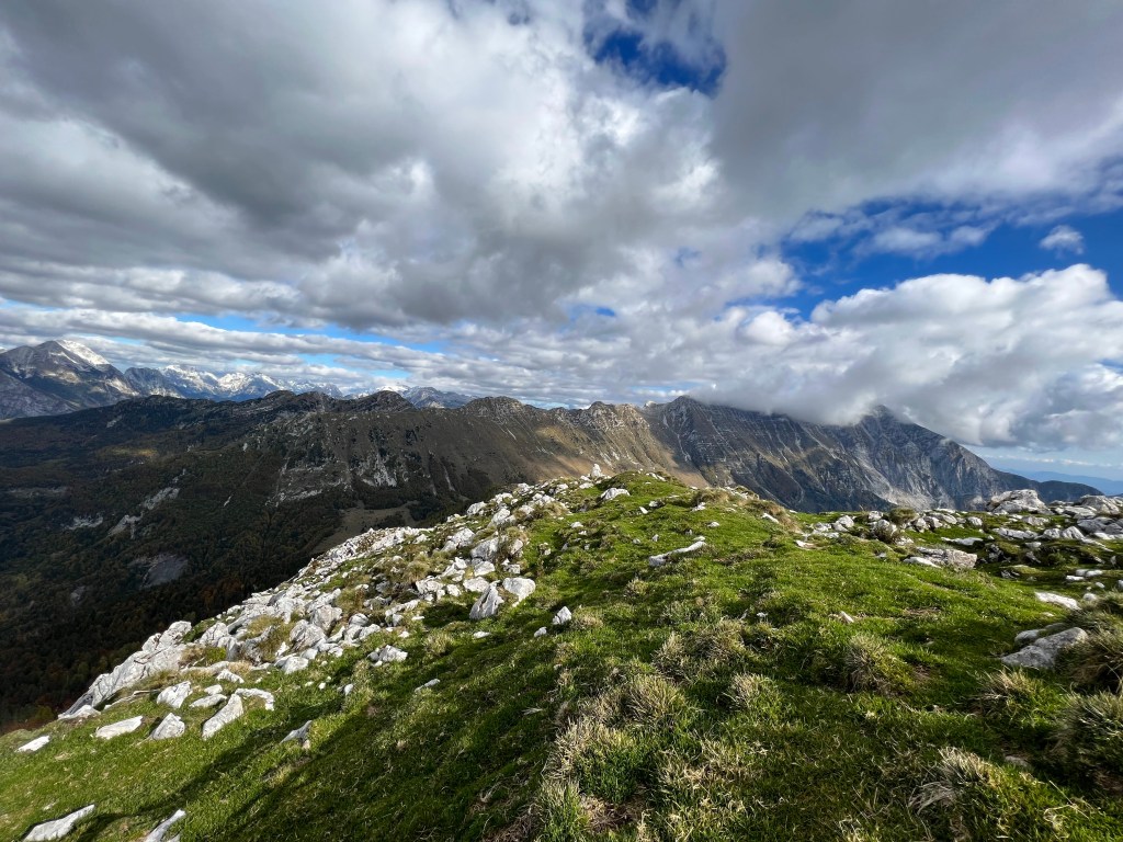
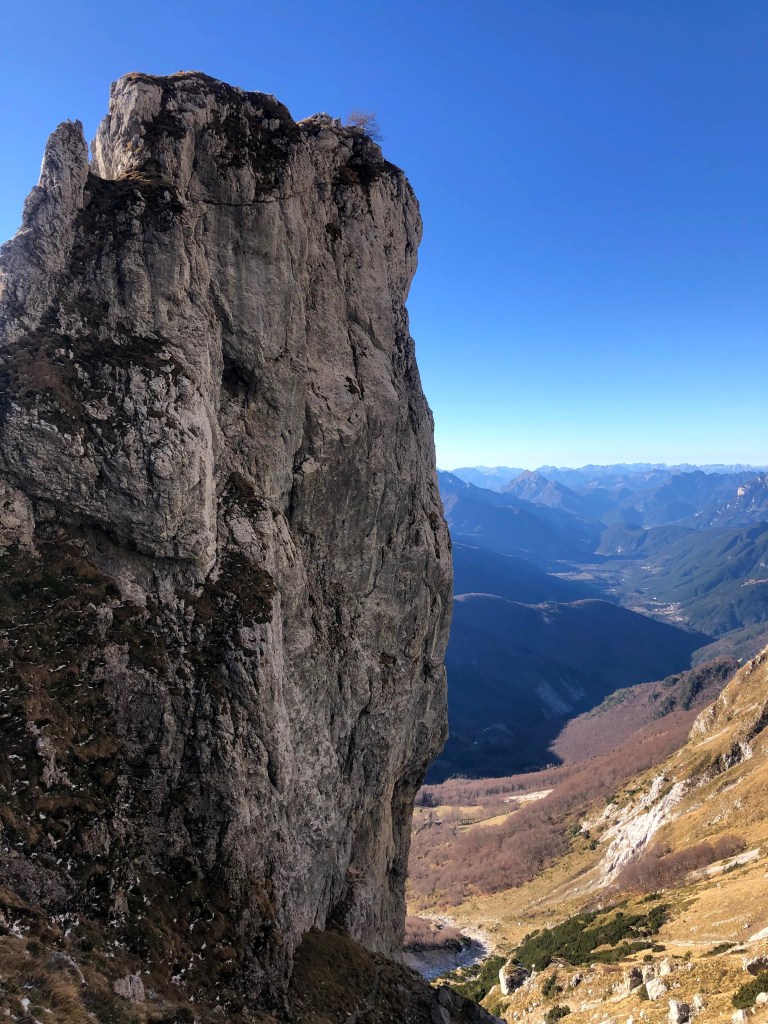
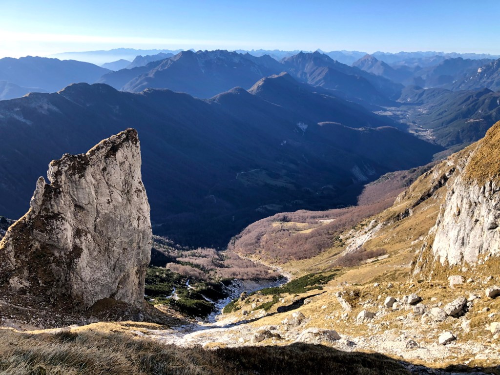
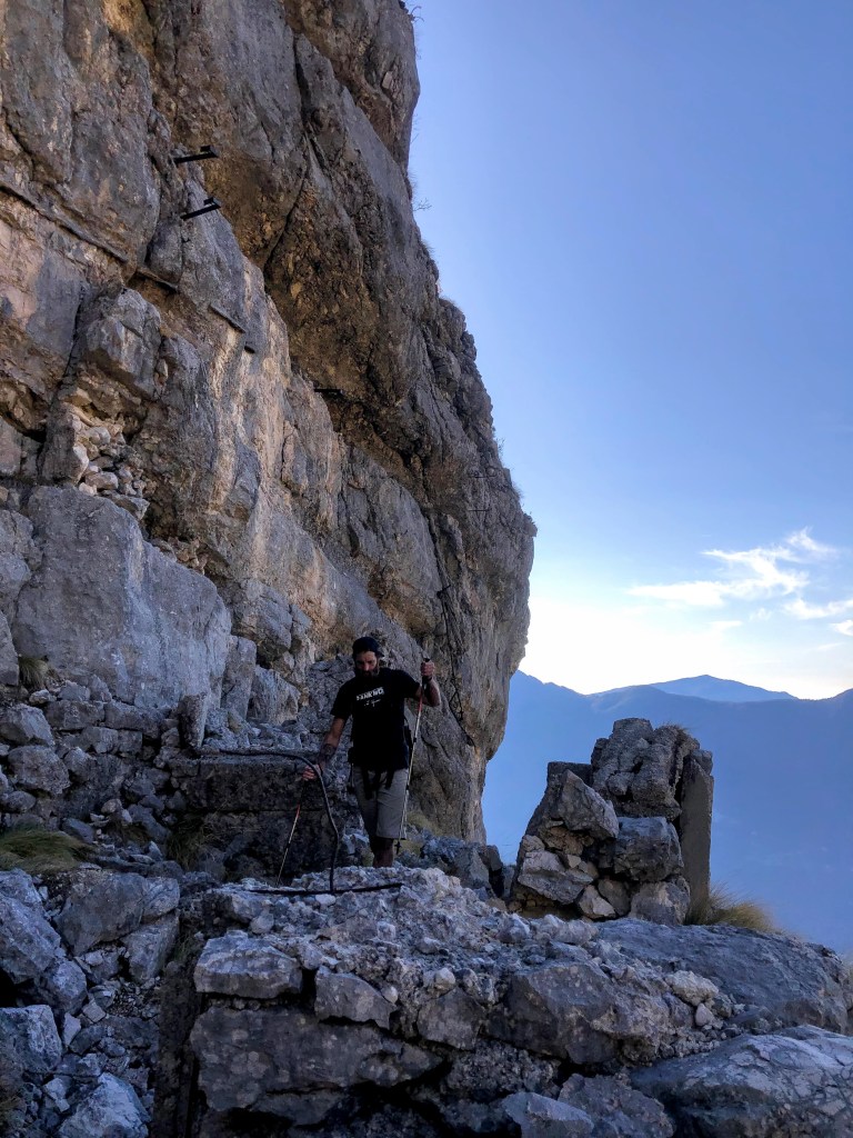
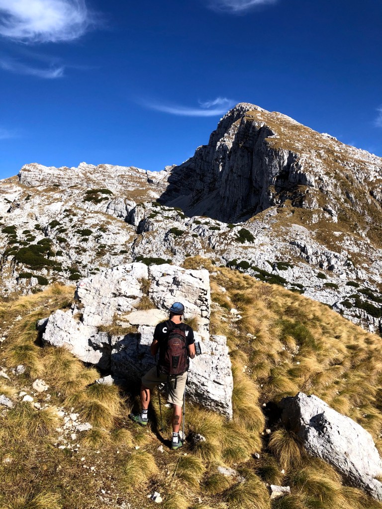
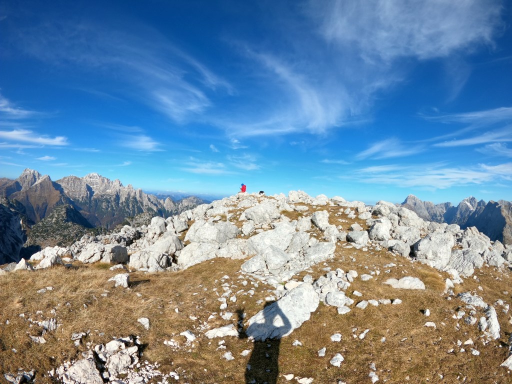
Cima di Terrarossa (or Špik Hude Police in Slovenian) is a striking peak in the Julian Alps, rising near the Italy–Slovenia border. Known for its reddish limestone rock, which gives the mountain its name. It offers wide alpine views over surrounding peaks and valleys. The area is rich in history, with remnants from World War I along old military paths. It’s common or almost sure to spot Alpine ibex moving effortlessly across the rocky slopes. These steinbocks are very curious and not afraid of people. You have to be careful not to get some rocks on your head from them moving around.
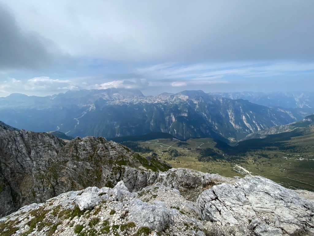
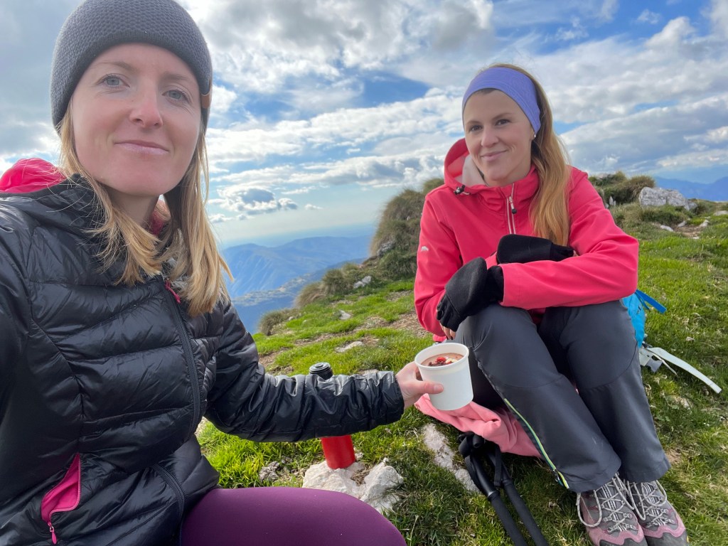
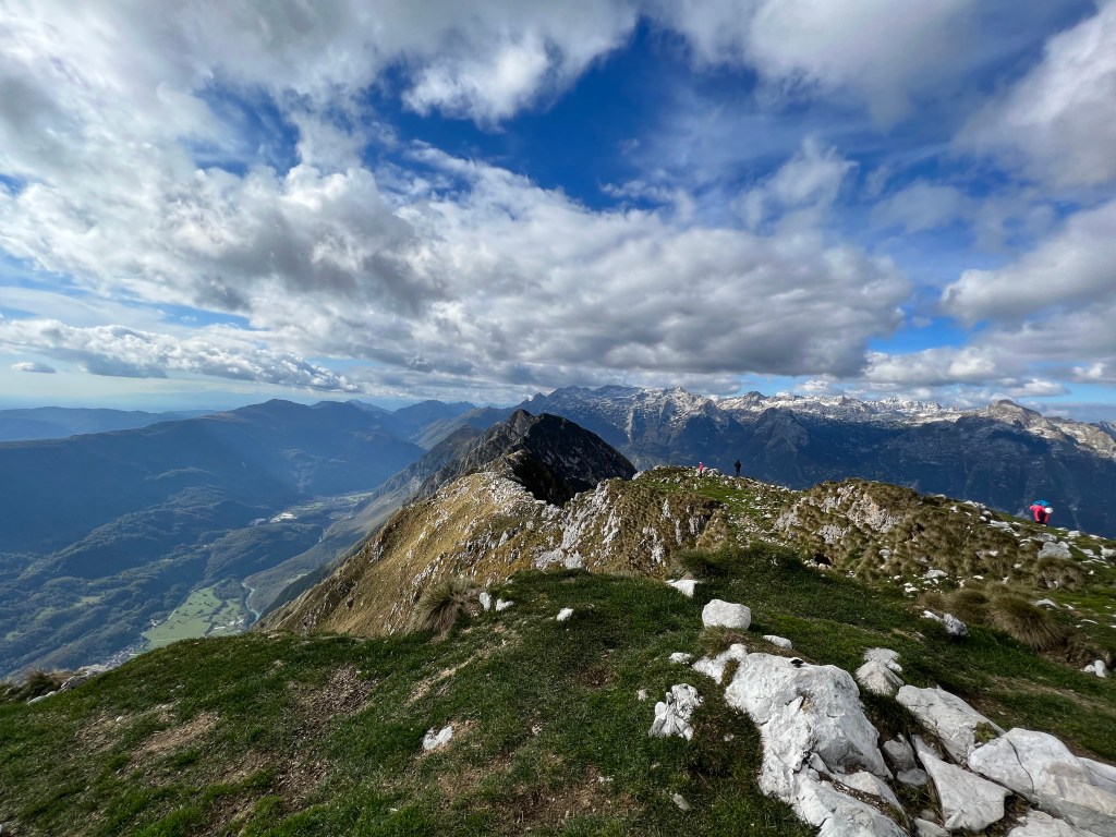
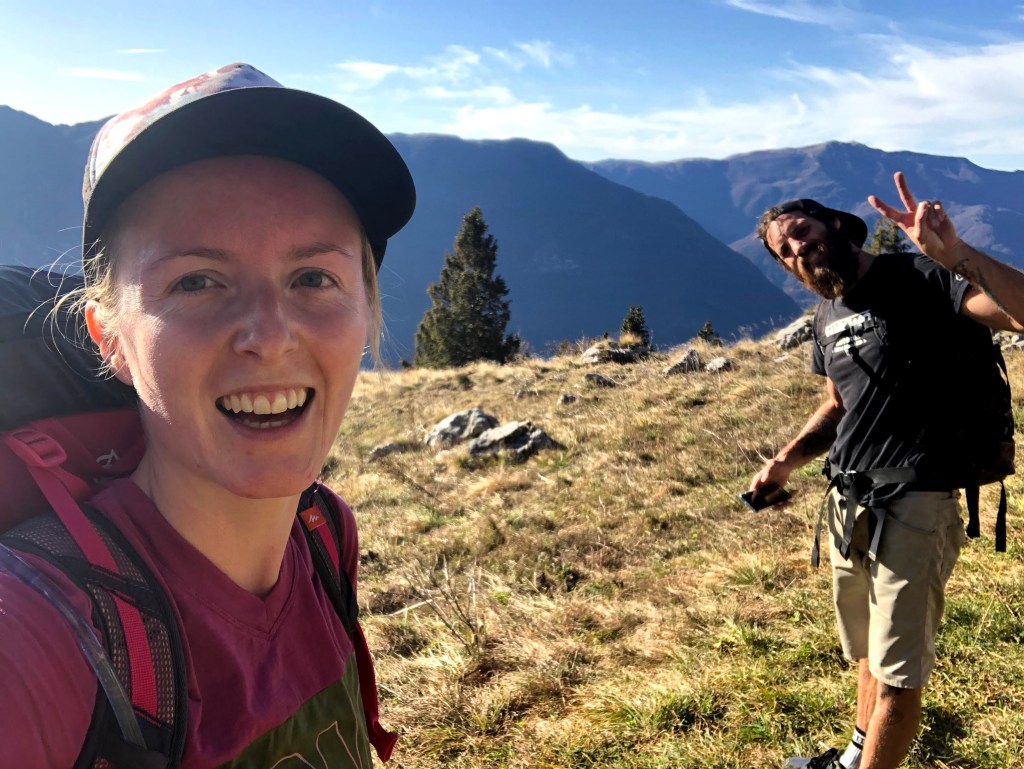
I rarely go hiking in summer, because normally I work and on my days off I am doing something else, honestly. I also am not a fan of crowds. It was 15 August when we went hiking on an Italian mountain with Iva. So we were expecting it to be busy. And it was, but on the way down. So when people were going up, we were already on our way down. Going up we only had the good type of crowds.
Photo by Iva
We were also lucky with the weather – it was not too hot and not too cloudy to enjoy the views.
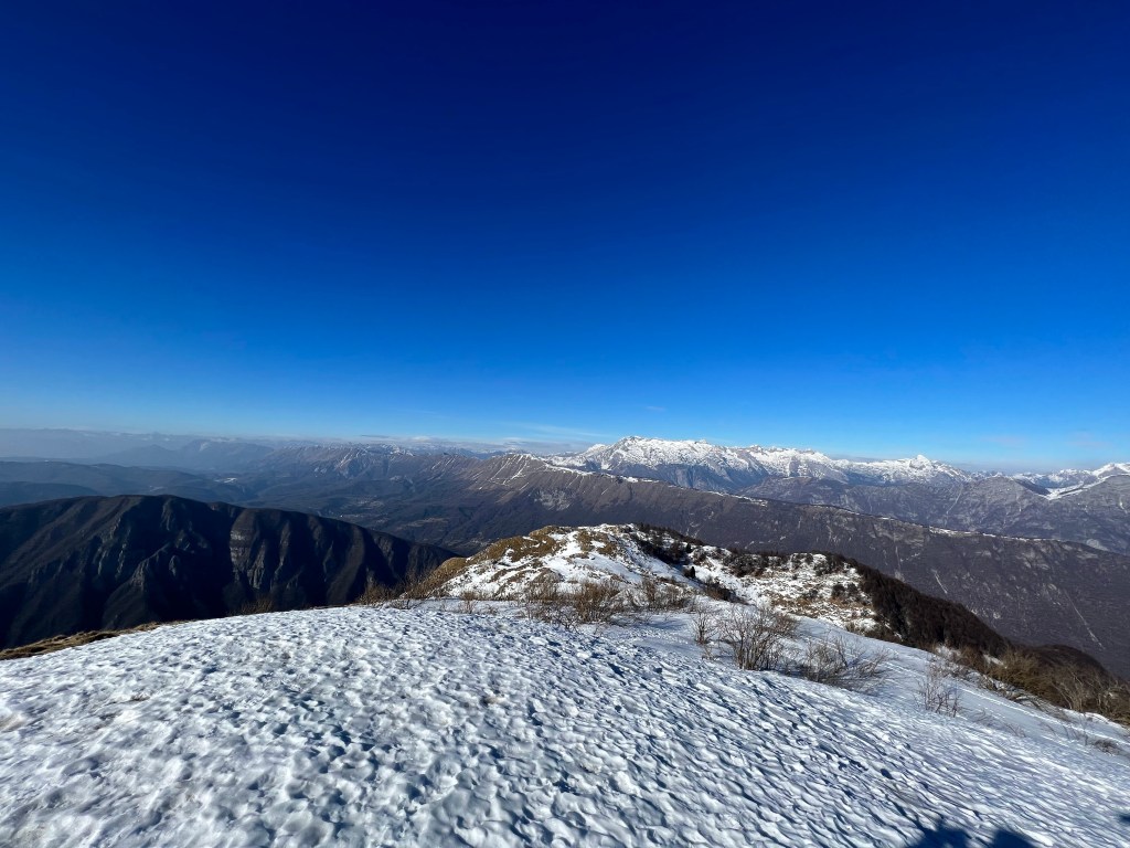
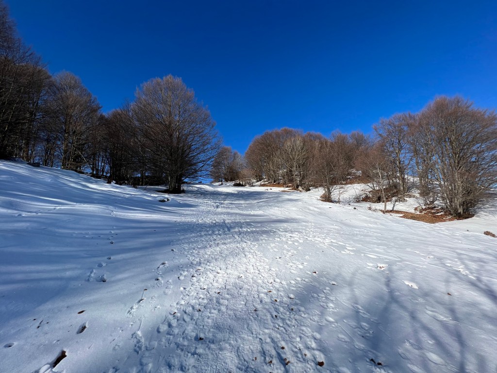
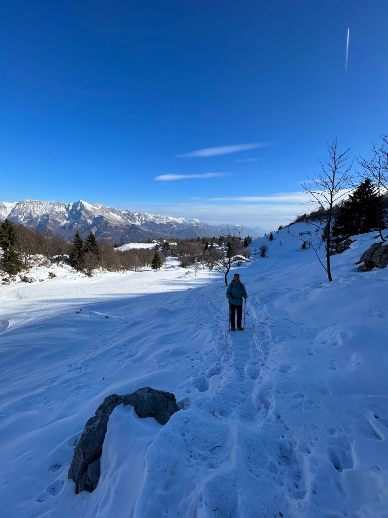
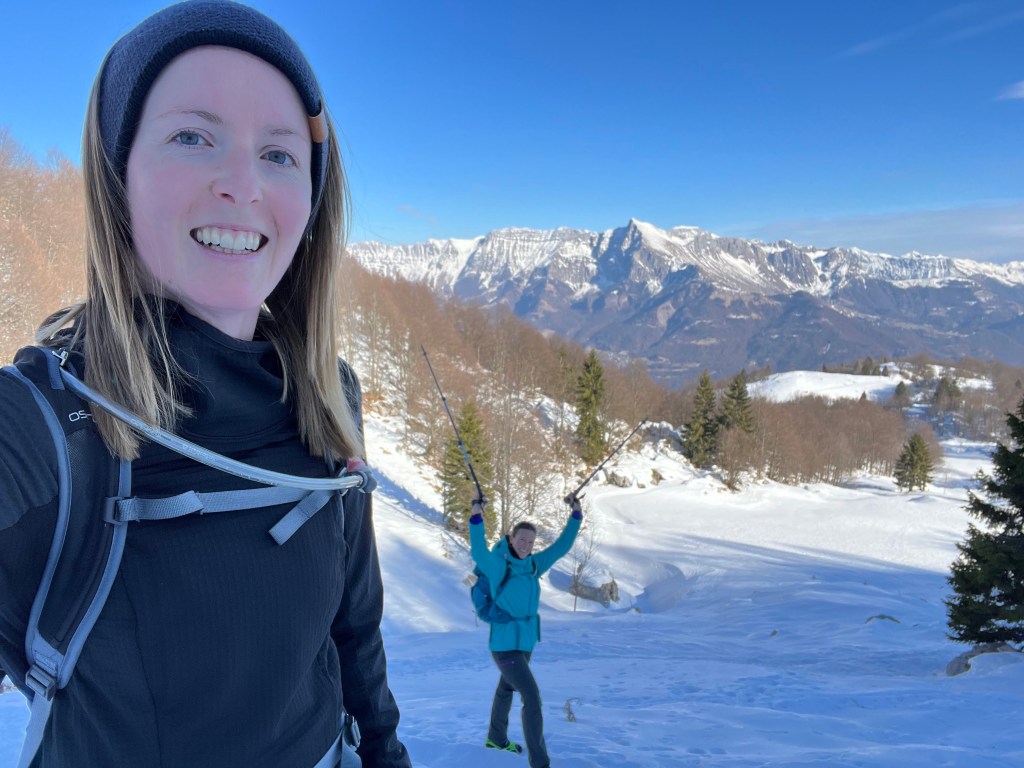
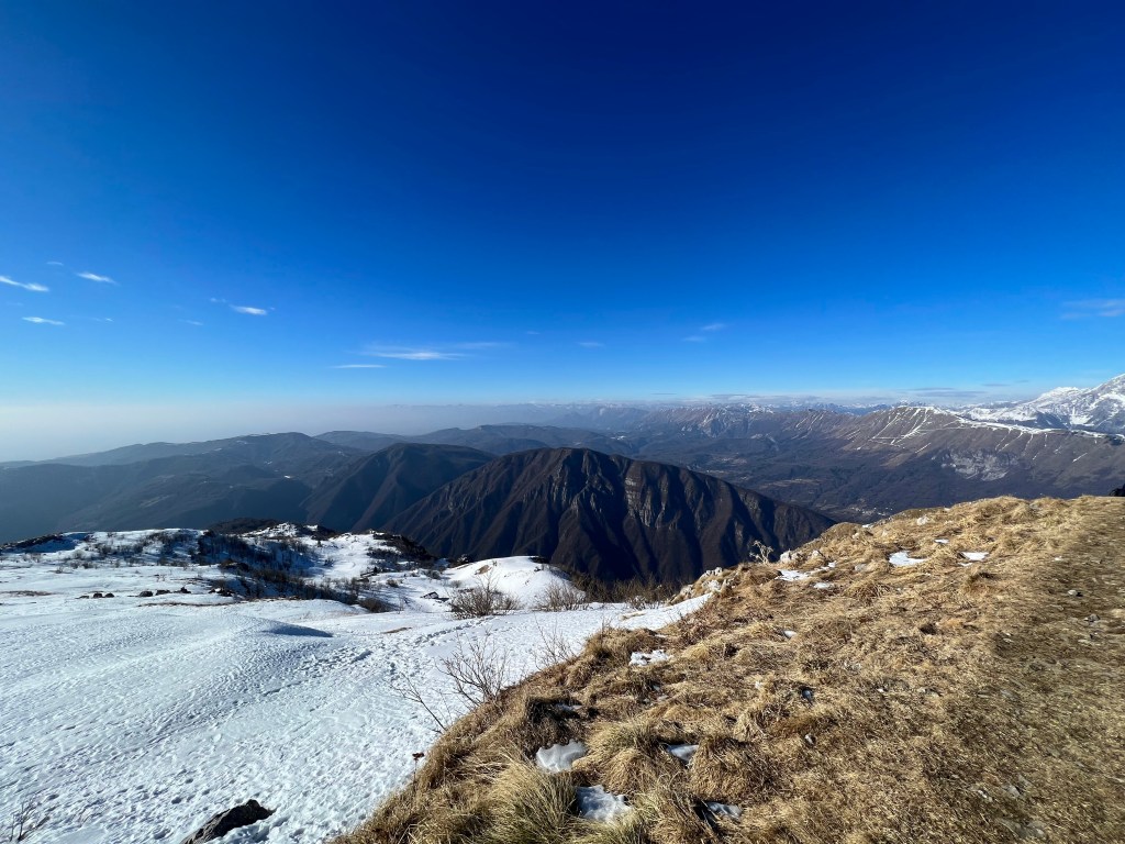
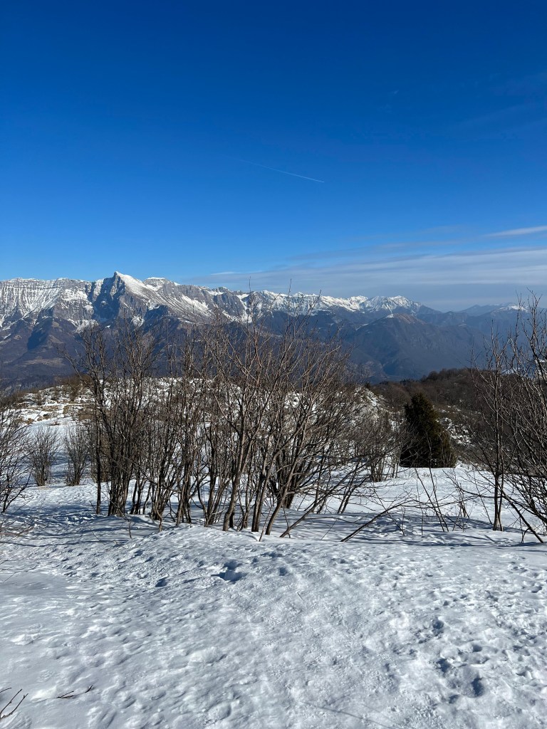
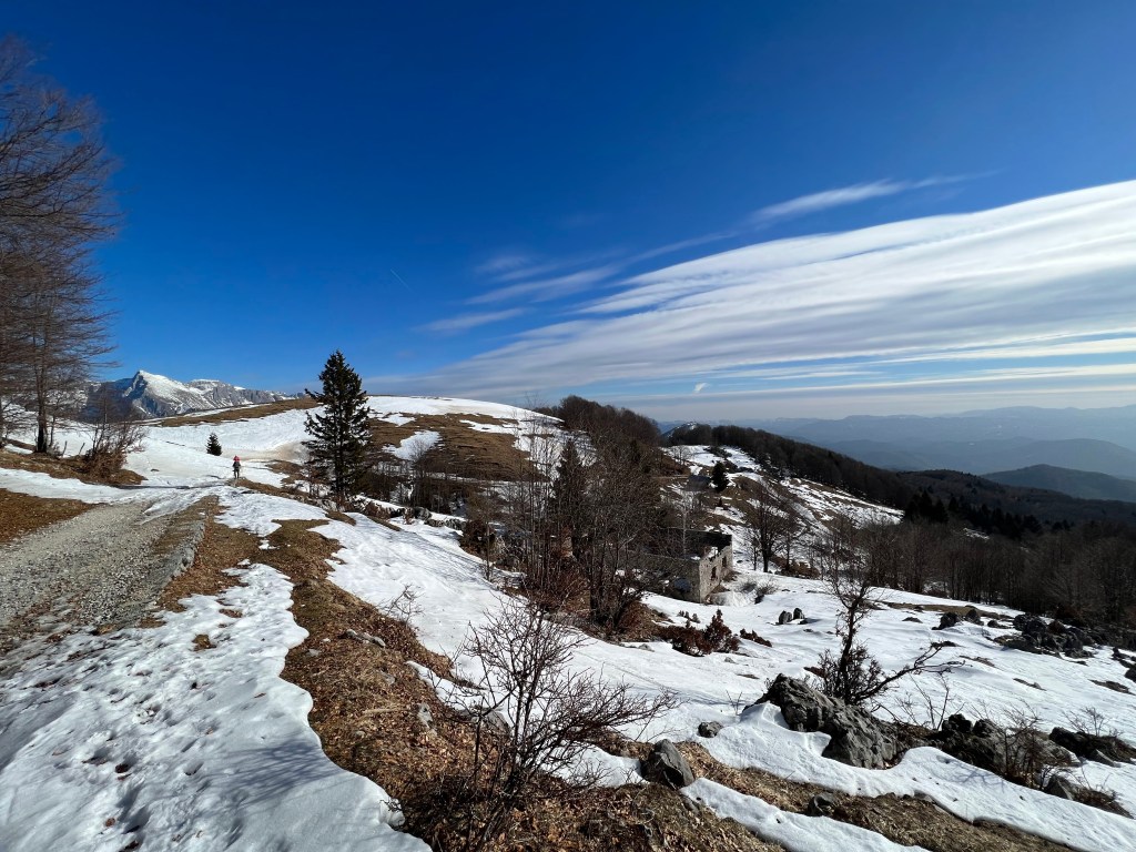
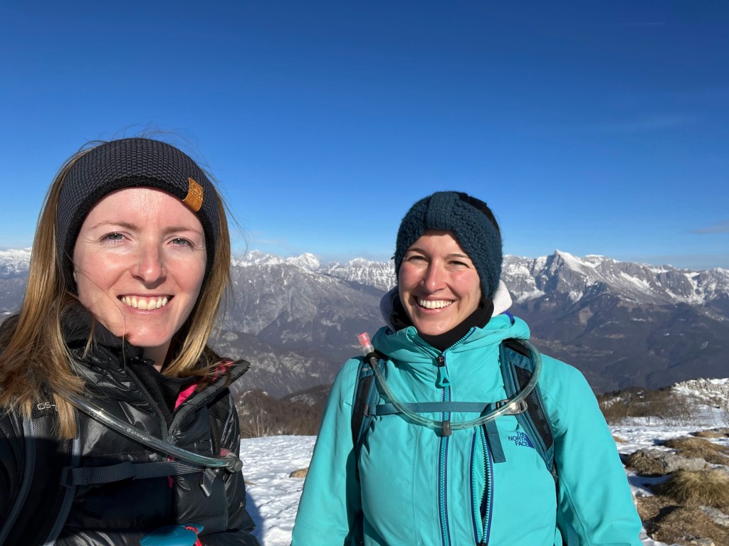
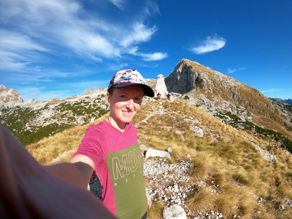
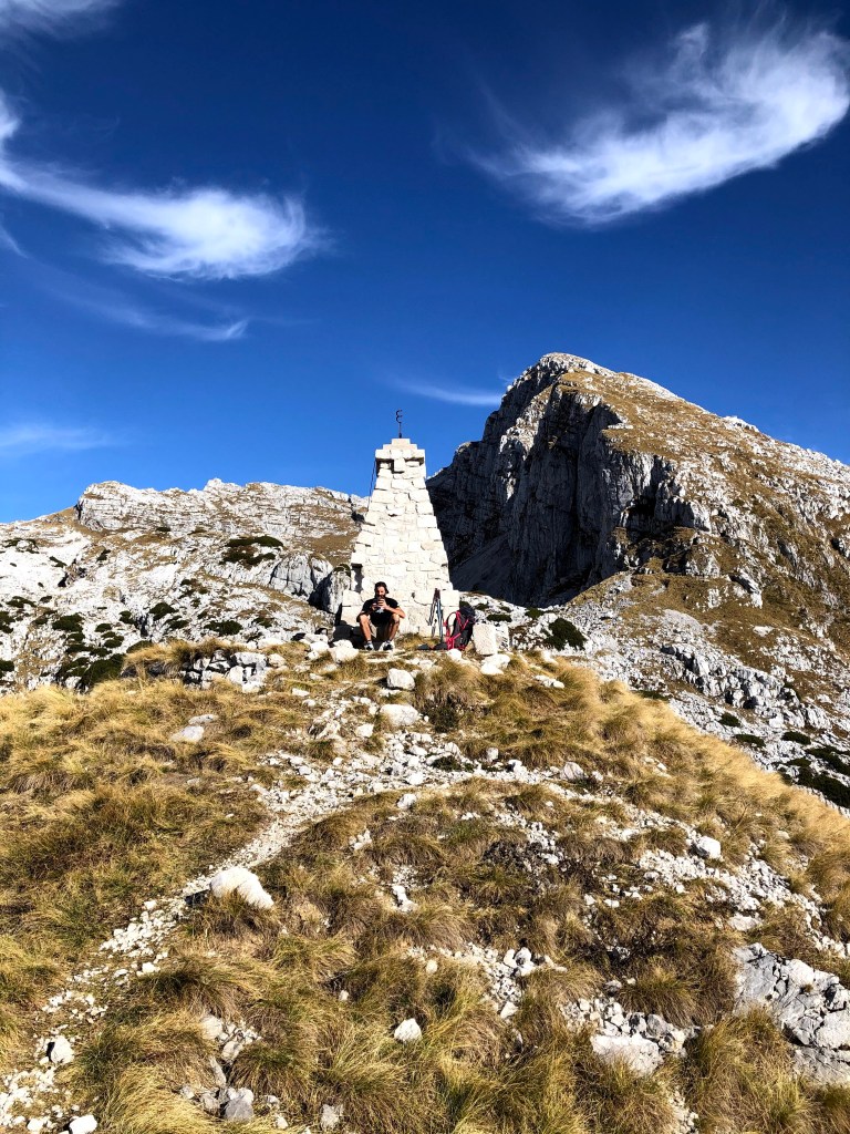
My friend and I decided to do a nice, easy hike in winter with some snow. We decided to go up Matajur from Avsa, which is not demanding. We needed less than 2 hours up and even less down.
On the top of Matajur.
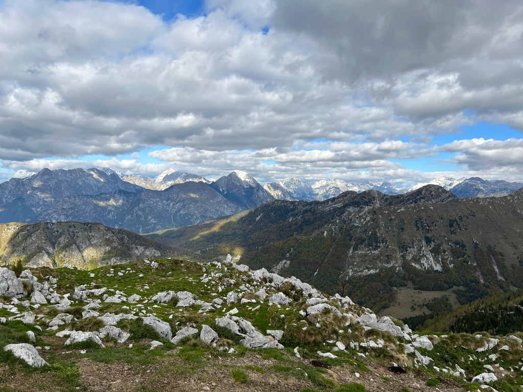
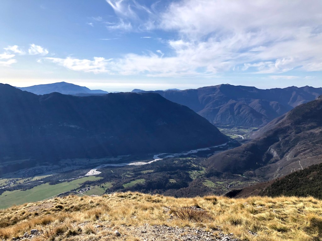
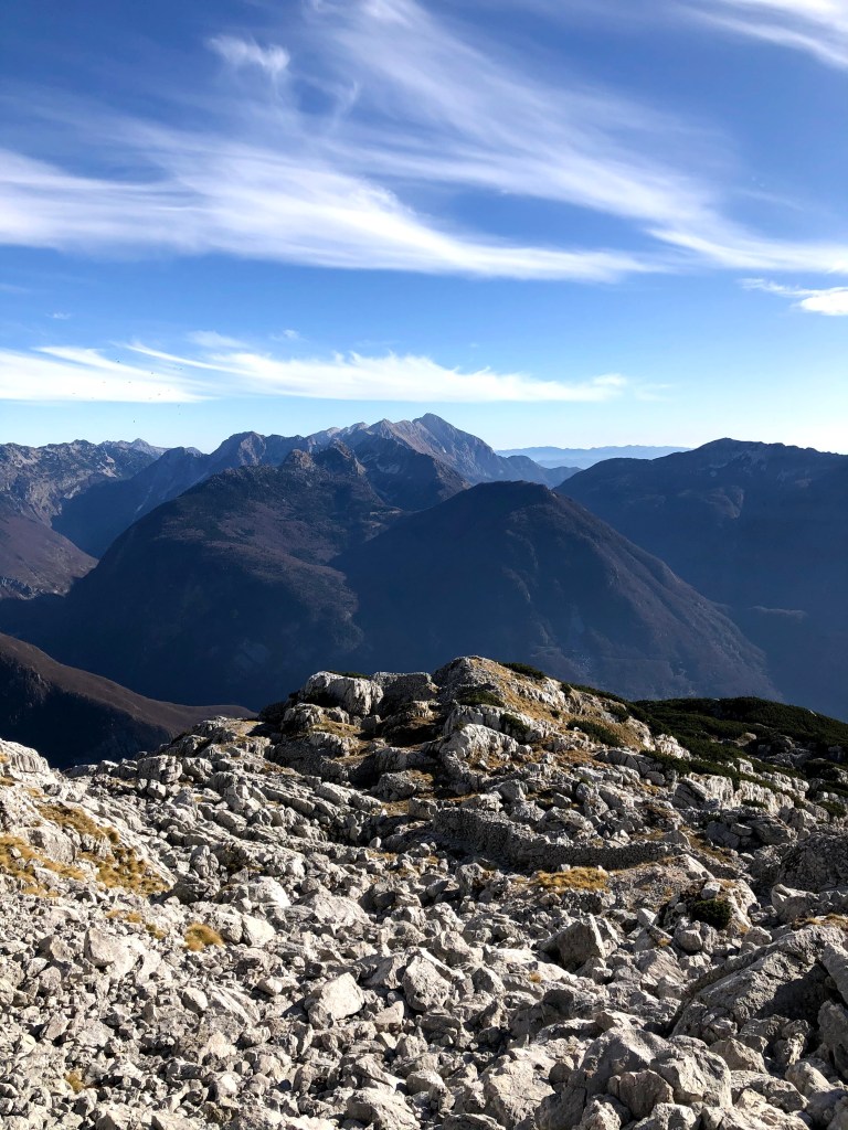
Matajur (1641 m) is a prominent mountain on the border between Slovenia and Italy. It is known for its grassy summit. It also offers one of the most beautiful panoramic views in the Julian Alps. From the top you can see the Soča Valley, the Adriatic Sea on clear days and even the Dolomites. Matajur is also historically significant. During World War I, it marked an important breakthrough point. Traces of military history can still be found along the trails, like many other mountains around.
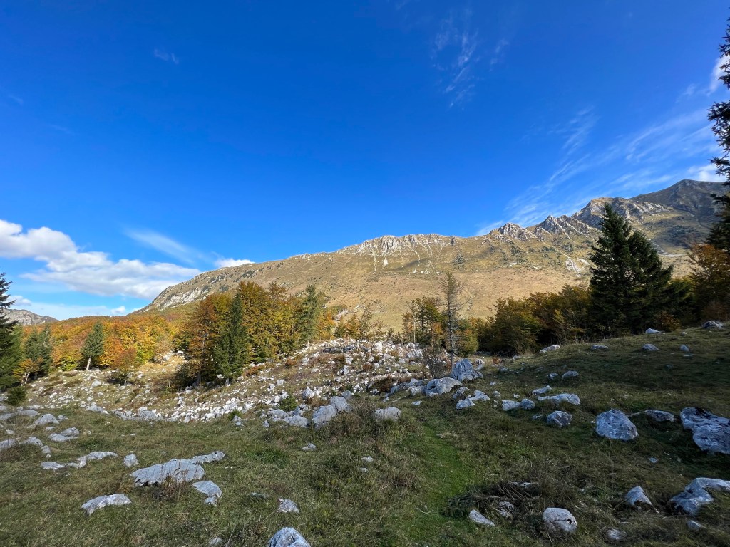
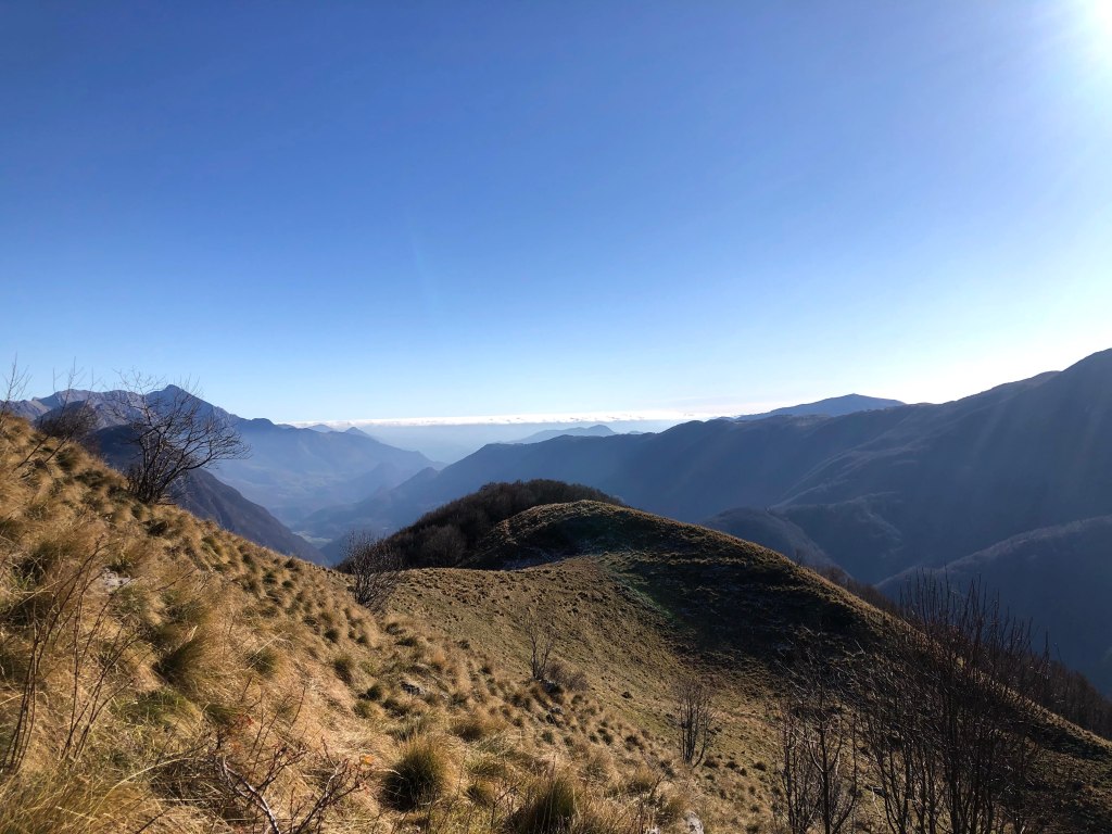
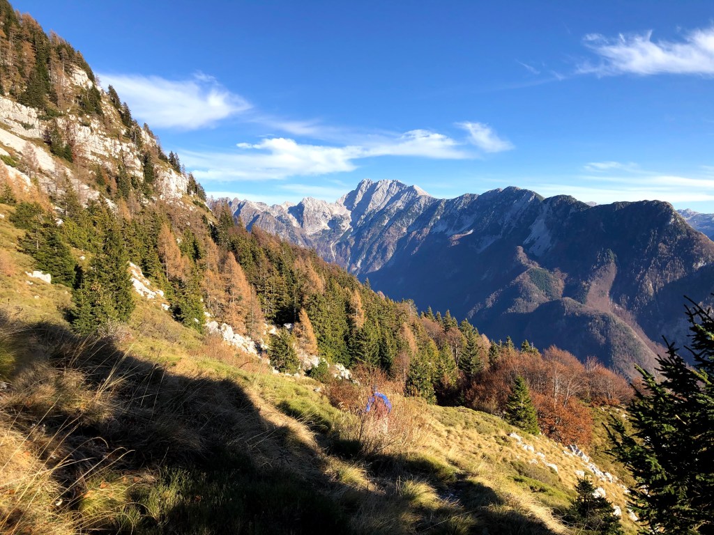
Krasji vrh is a peaceful starting point for autumn hikes. It offers open paths, wide views and the forests glow in fall colors. Perfect for those who enjoy quiet trails and nature without crowds.
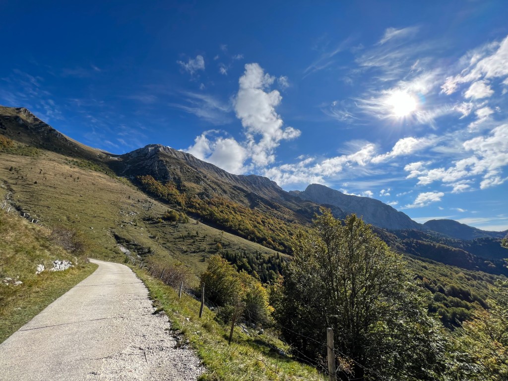
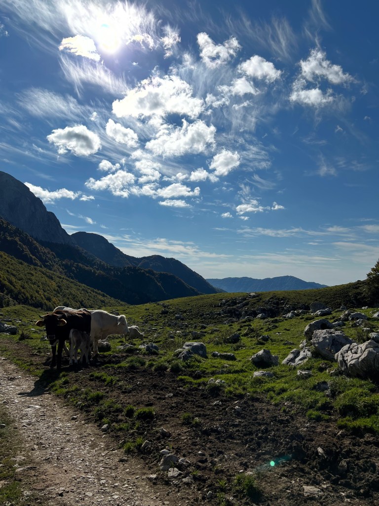
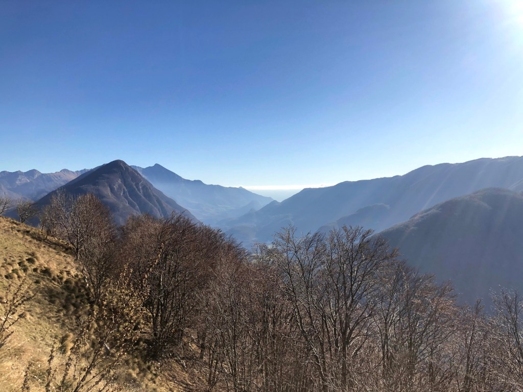
A beautiful autumn choice. My friend and I drove to Drežniške Ravne, where we started our hike. The hike itself is not demanding, but it does take around 2.5 hours up and around 2 hours down. It was warm, my watch said around 14 degrees Celsius.
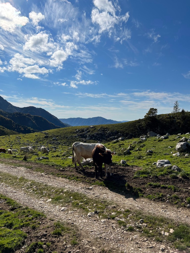
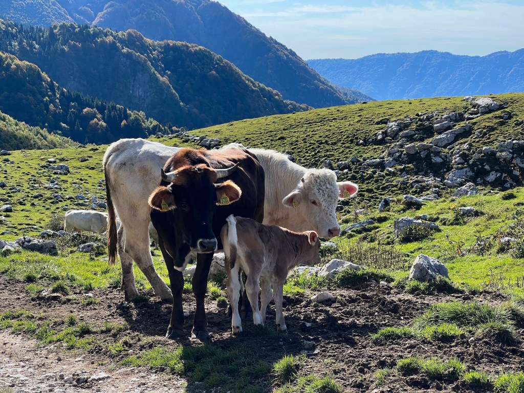
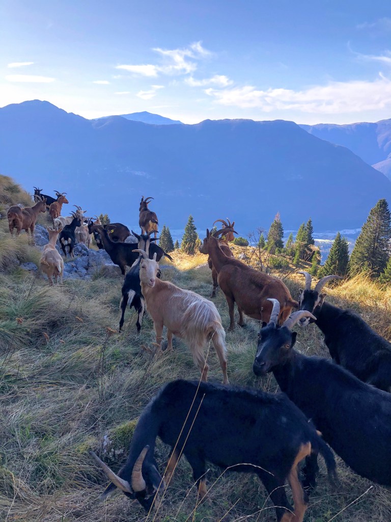
We had some company at the beginning of our hike.
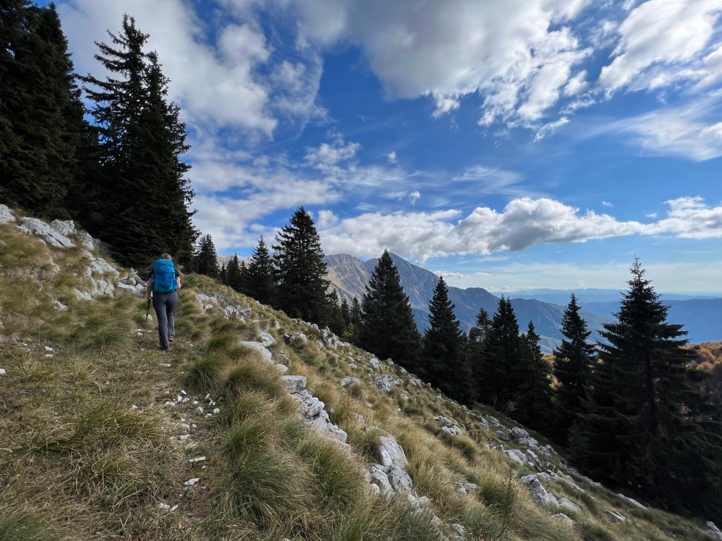
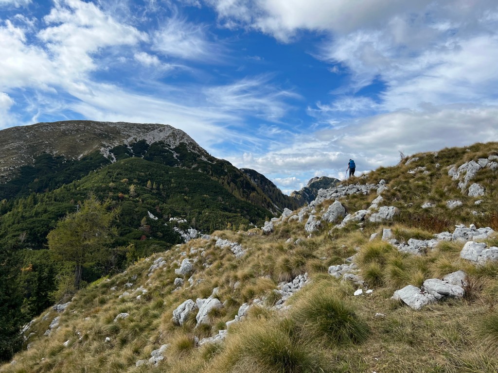
Going up there are beautiful meadows and views.
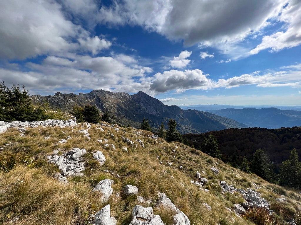
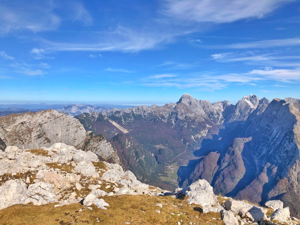
The views from the top of Krasji vrh.
Photo by Iva
Thanks to Iva for a beautiful day in the mountains.
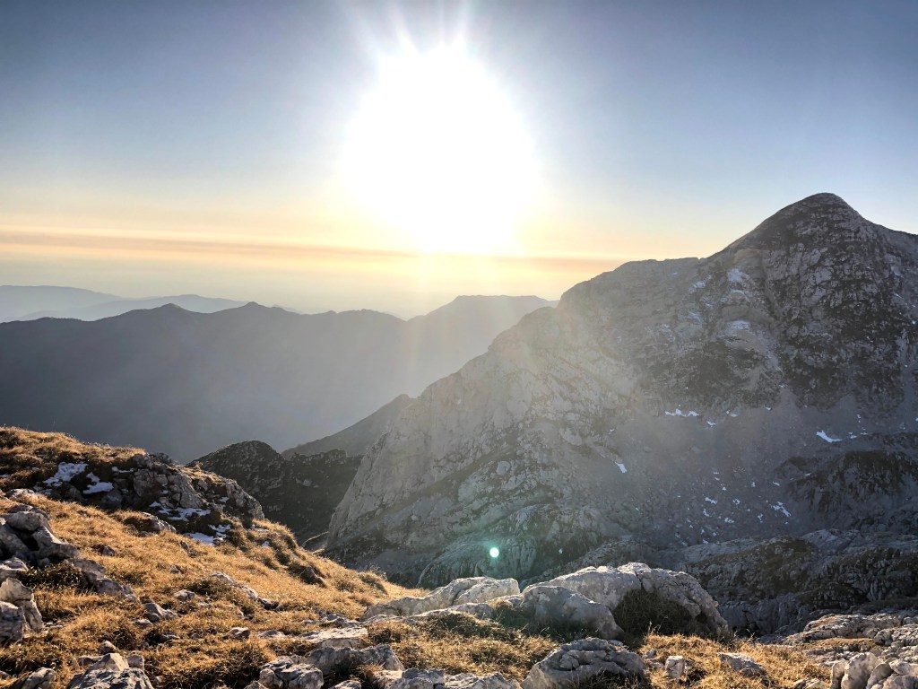
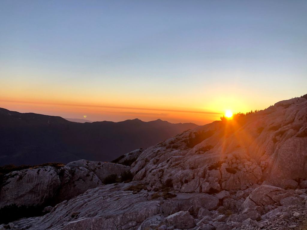
In the same year we did another hiking mission. It was a bit more challenging for us at the time, but the views were incredible. We also miscalculated a tiny bit, but we got to see the sunset.
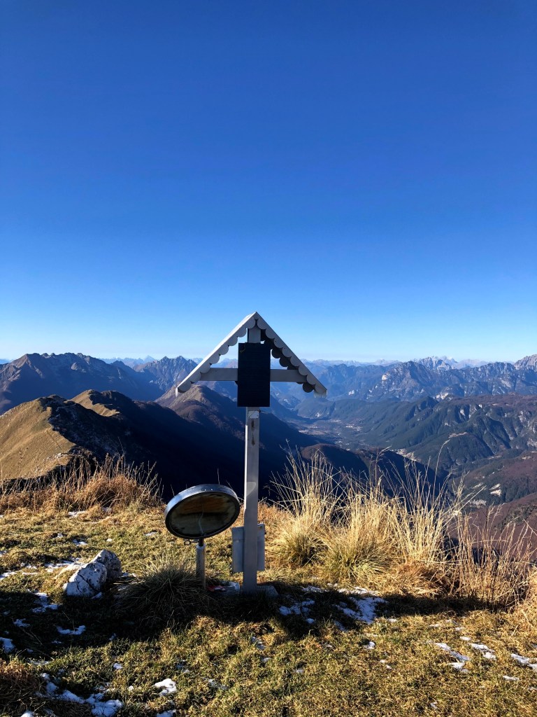
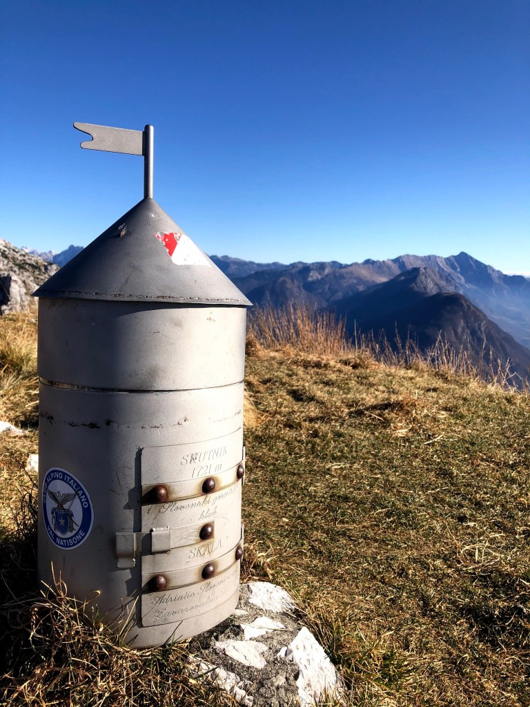
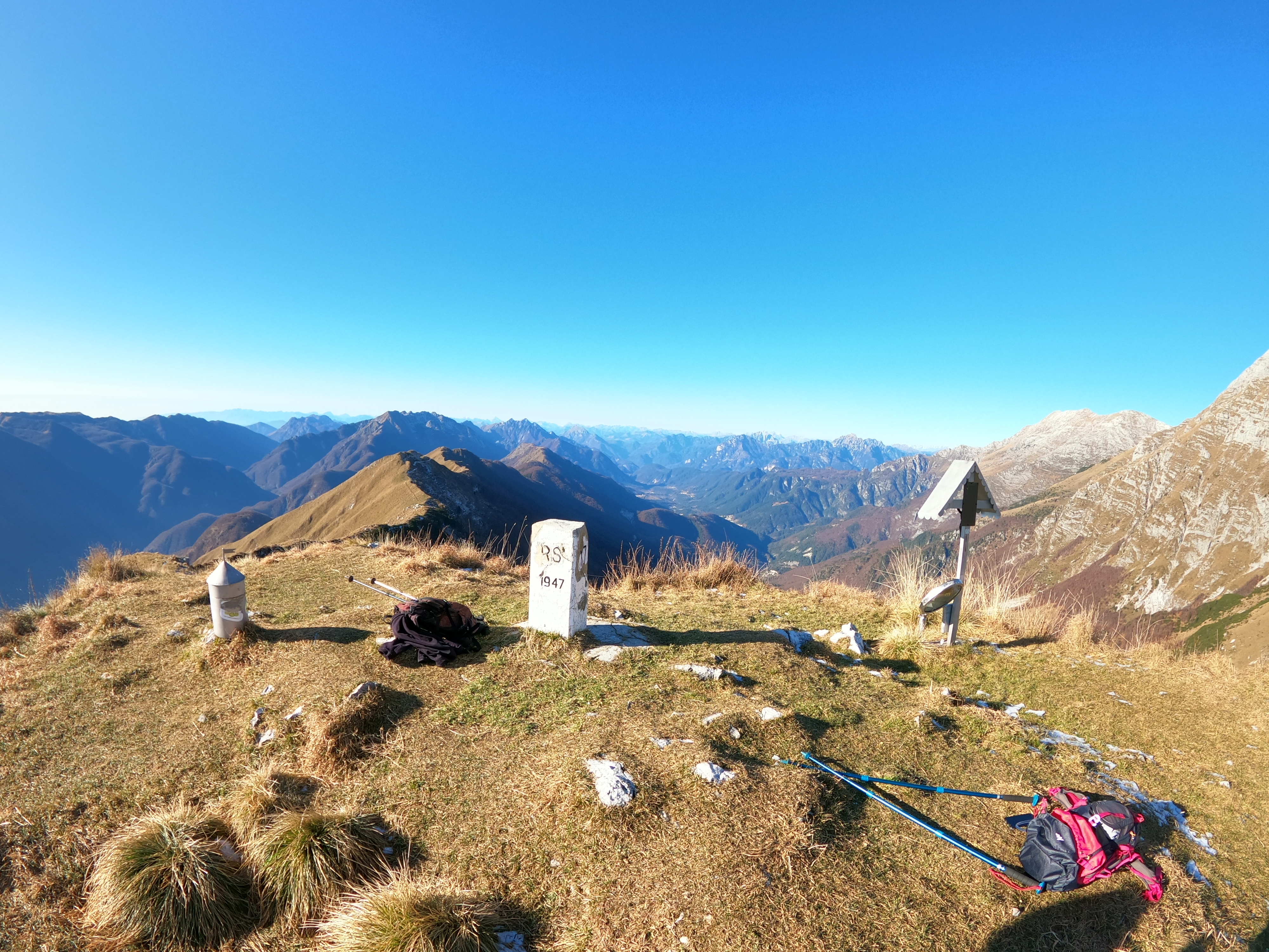
We started our mission close to Žaga. Then, we headed up to Skutnik. After that, we went over to the Italian side for some time. We passed Bivacco Franco Constantini and went around Velika Baba to Veliki Babanski Skedenj. After we made our way down back towards Bovec, finishing in Gozdec. Altogether we did more than 20 km, more than 2000 m in elevation gain. We were on the way for about 7 hours.
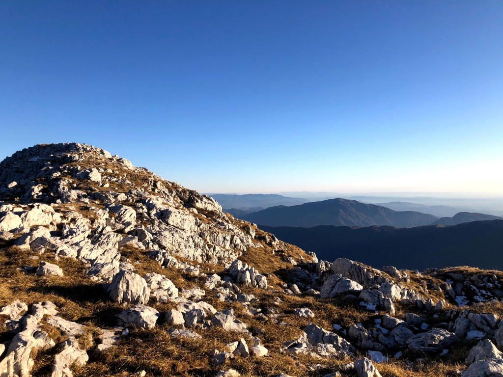
Our first goal was Skutnik. Very easy, winding path.
Globoški potokThe peak of SkutnikBorder stone between Slovenia and Italy in the middle
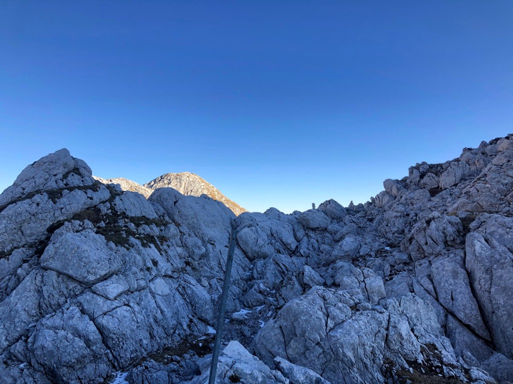
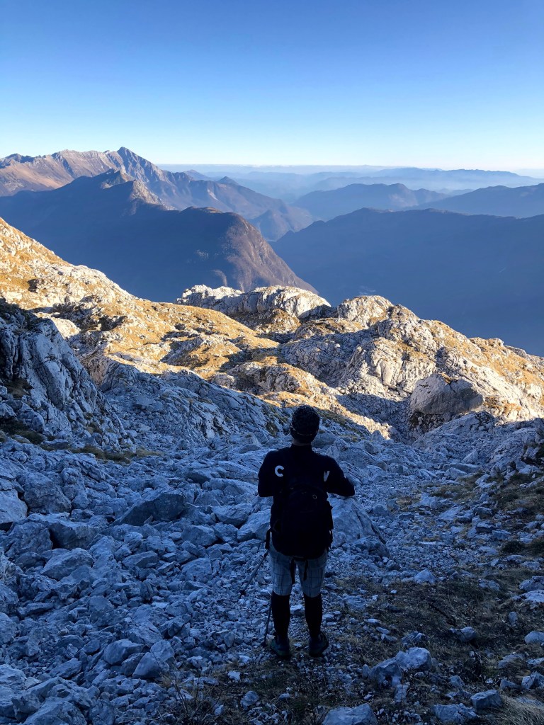
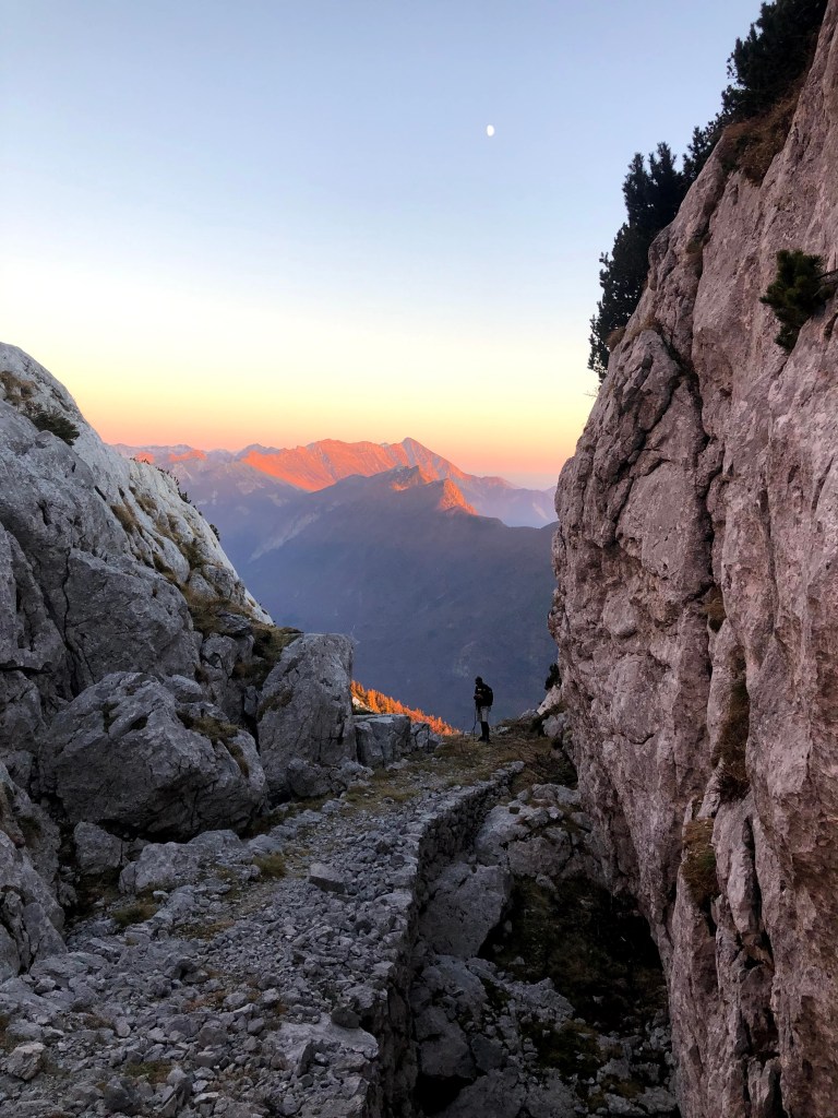
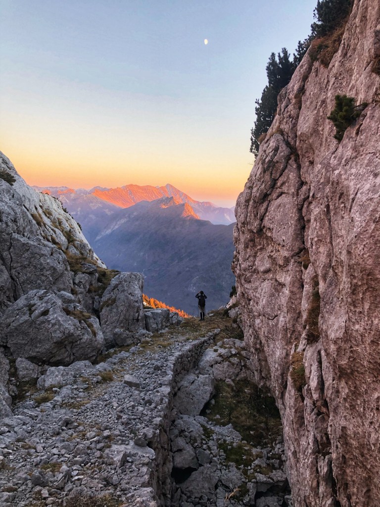
Then we were on the Italian side, making our way to the Slovenian side on a rocky, unmarked terrain. It took quite a lot of focus. We were happy to make it Veliki Babanski skedenj.
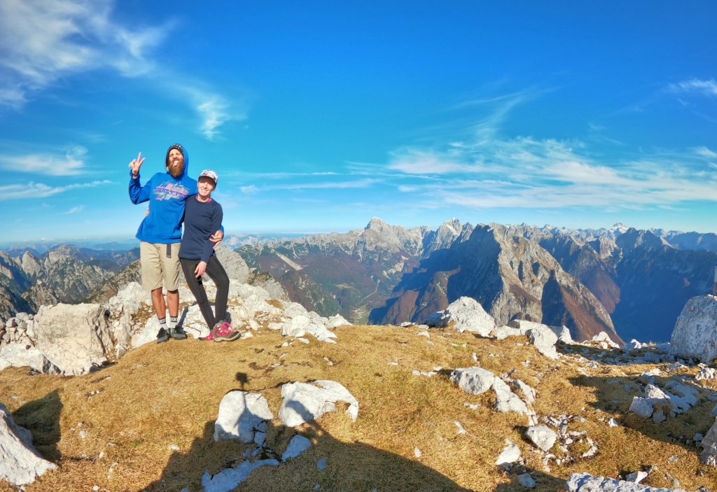
On the top of Veliki Babanski Skedenj.
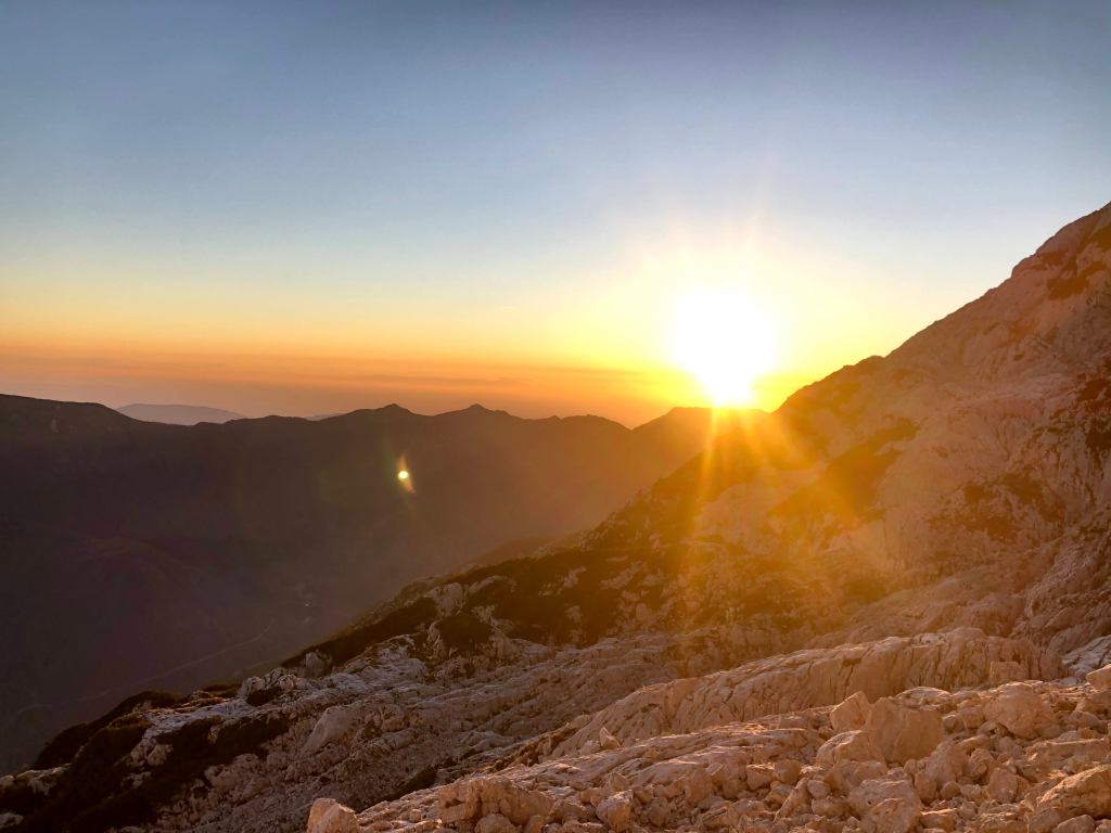
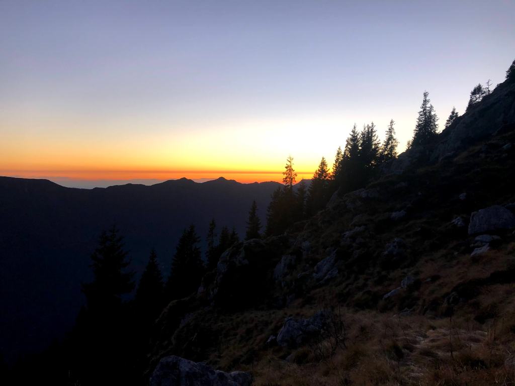
We started making our descent and the sun was setting.
We came back down in darkness of course. Luckily, my dad saved us some more walking on gravel road. Quite an adventure.
This was our first hiking mission in Soča Valley, when we returned from New Zealand. It was corona times, so we were limited to our own municipality borders. Luckily, our municipality is geographically quite large with heaps of nature. That year I was exploring a lot my home.
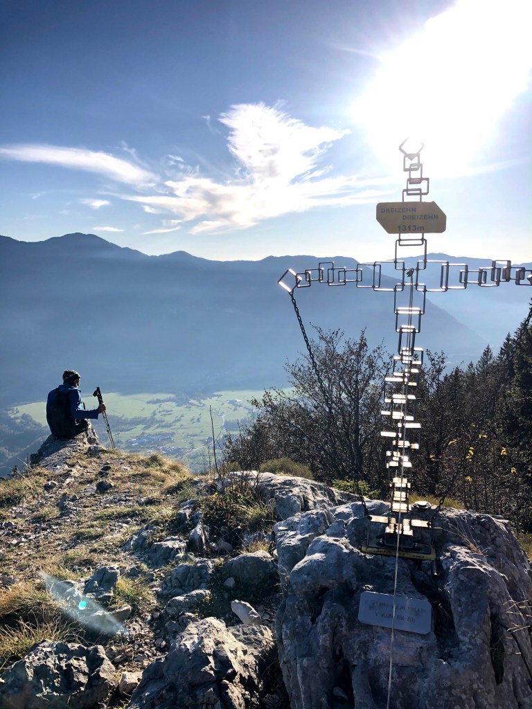
We decided to do a hike up to Rombon. Start on the side of Planina Goričica and Čukla. Go down towards Kota 1313 and Fort Kluže. At that time I did not have my watch yet, so I put Strava on on my phone. The whole moving time was around 6 hours, we did 1730 high meters and almost 15 km. It was a big day with nice weather, sunny and you could say hot for November.
Going up.
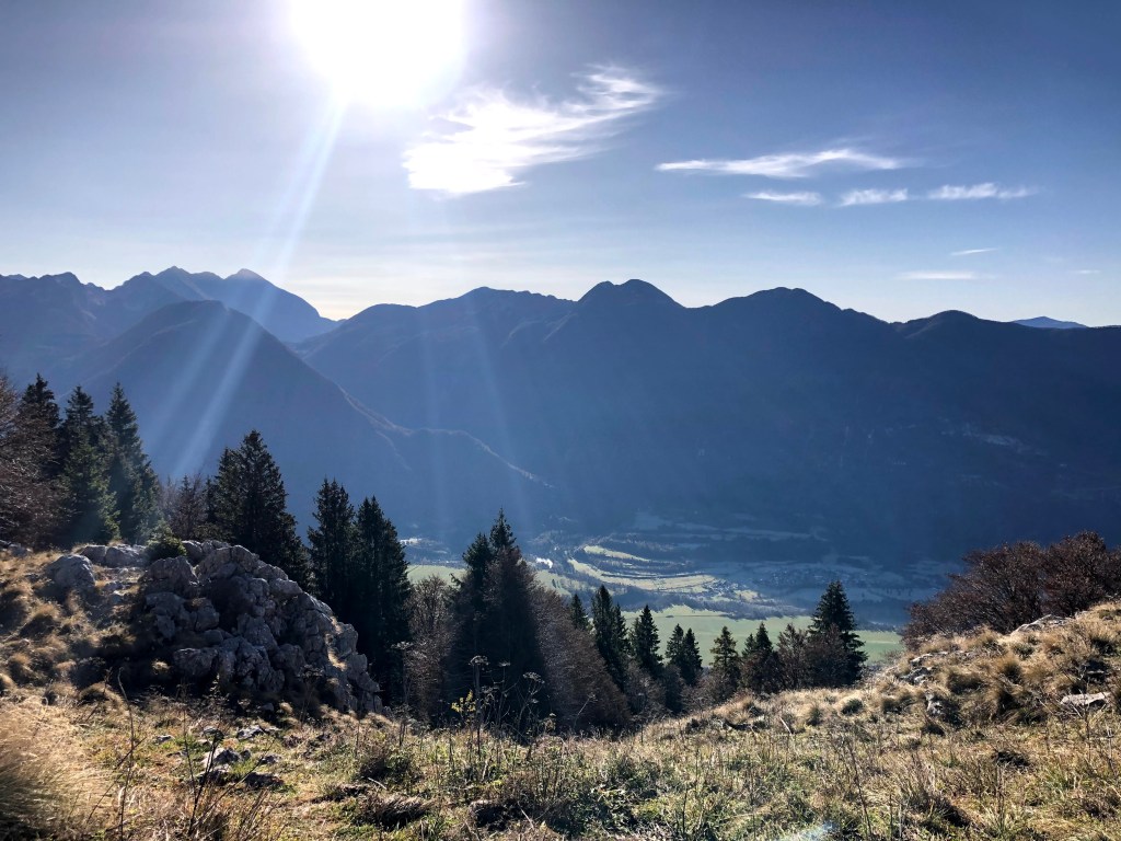
Our first stop on the way was Čukla, which already offered us some nice views.
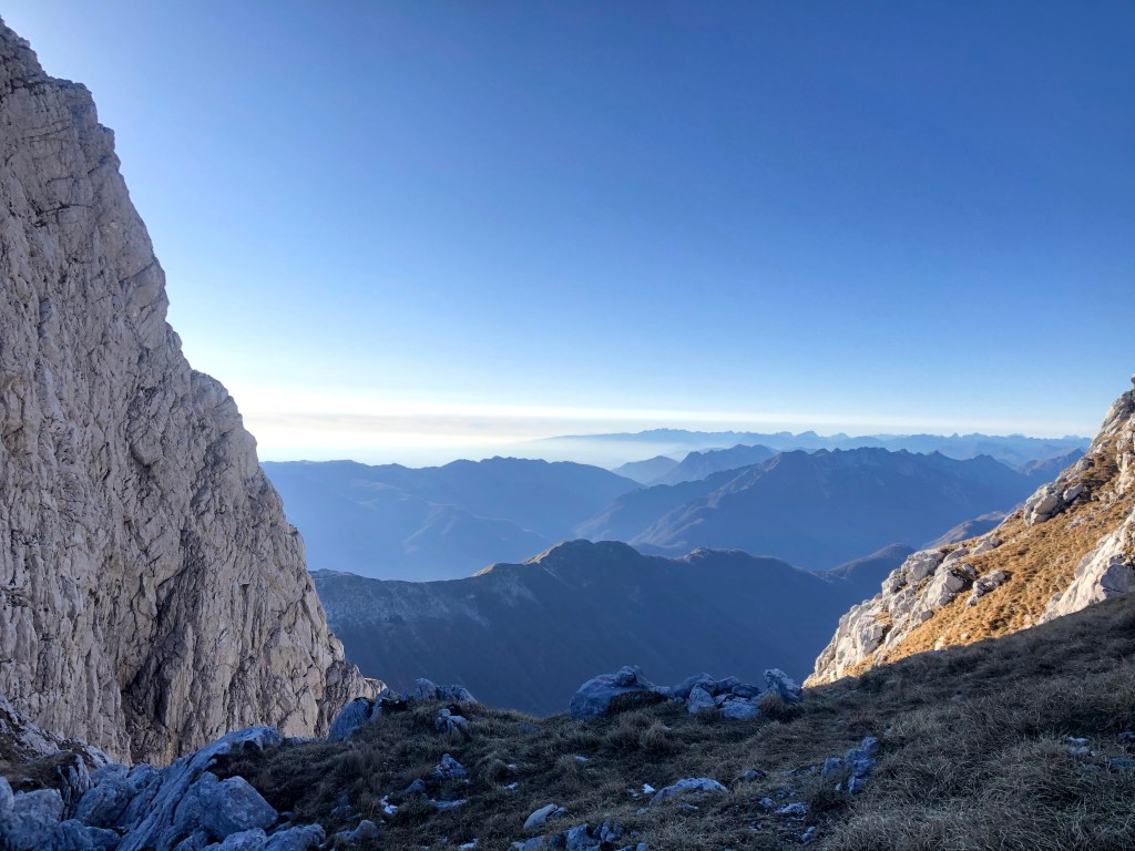
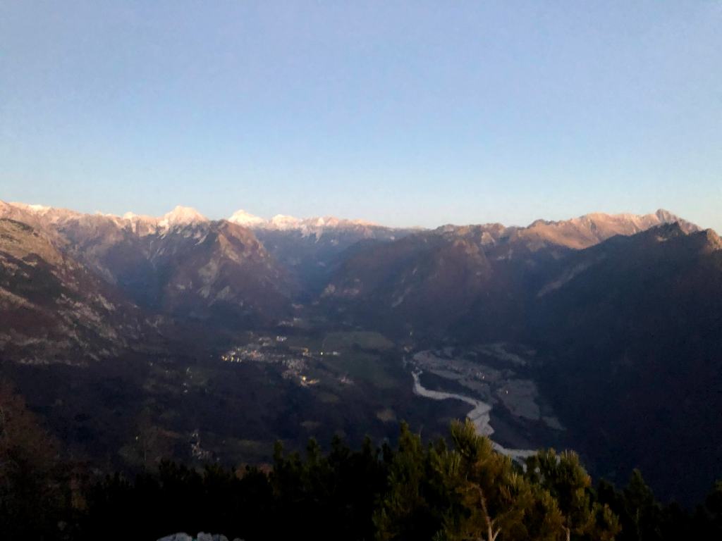
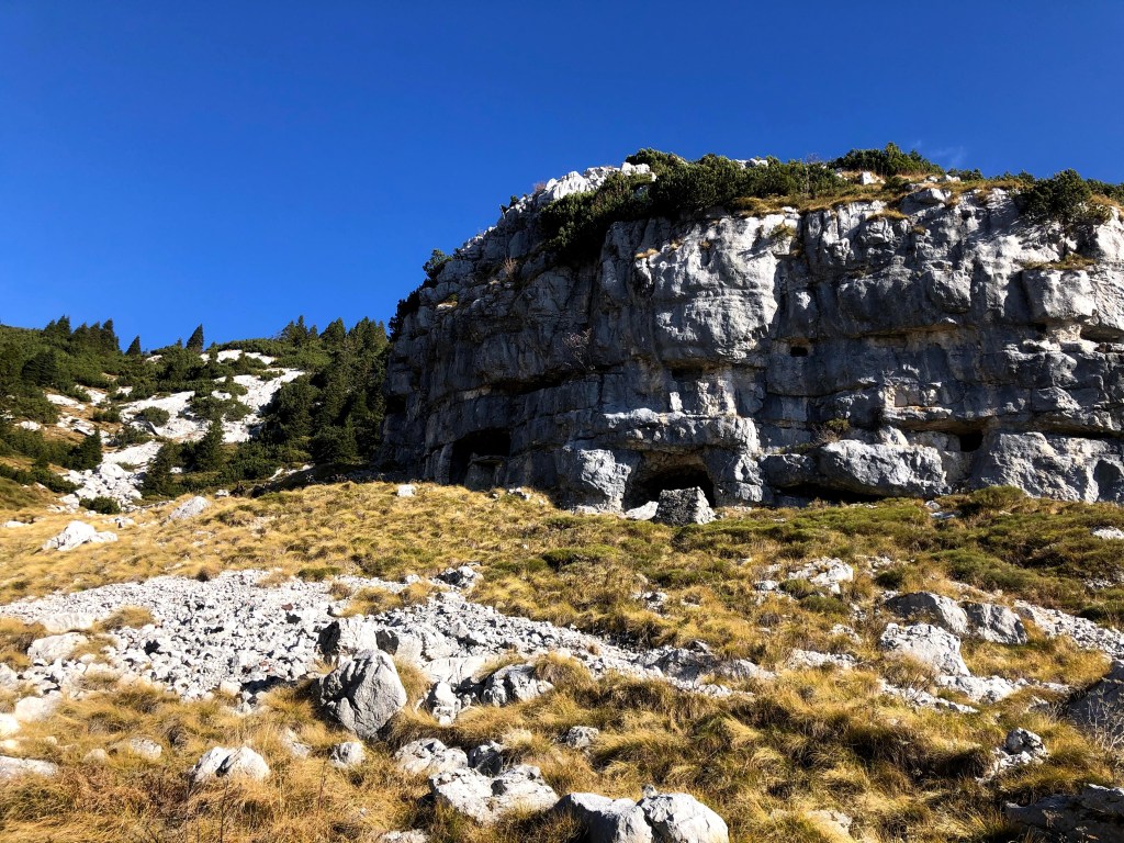
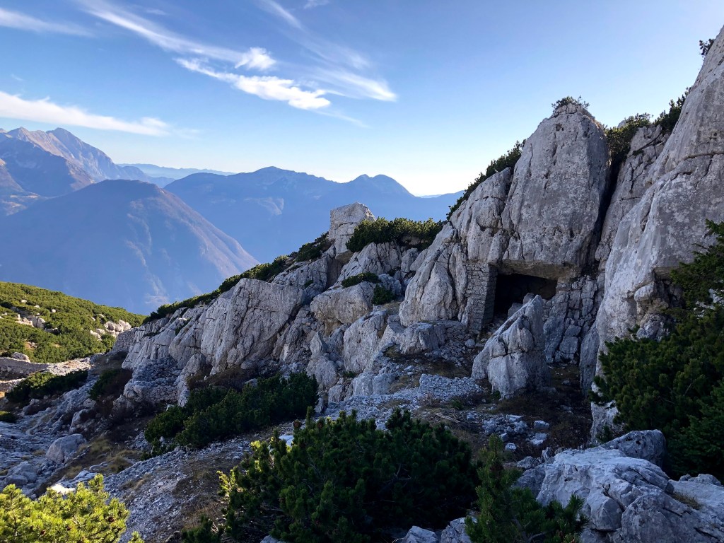
After a short stop we continued to Rombon. It is a scenic mountain above Bovec, best known for having the largest number of man-made tunnels in Slovenia. During World War I, extensive military tunnels were carved into the mountain, many of which are still visible today. The view from the summit is stunning. It offers wide panoramas of the western Julian Alps. The summit offers plenty of space to rest and enjoy the surroundings, but luckily we were alone.